Brindaban Society, Thane
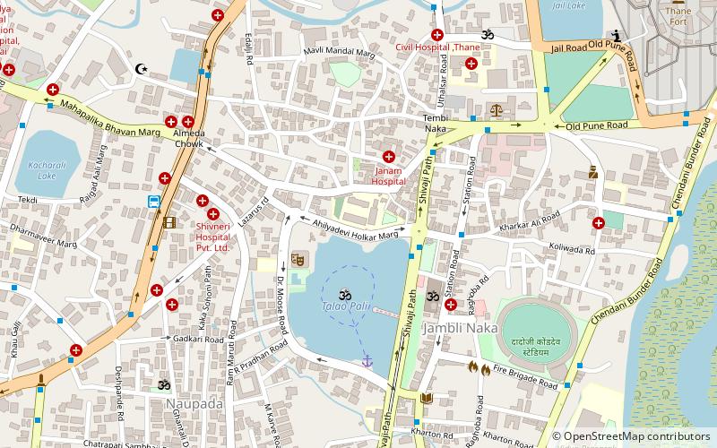
Map
Facts and practical information
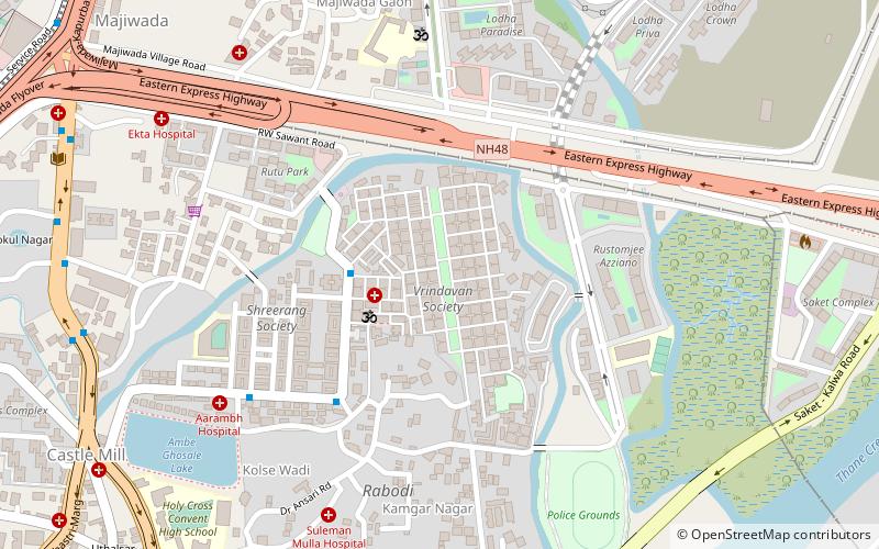
Vrindavan Society is a large residential complex in Thane, Maharashtra, India, developed by a venture of Mittal and Raheja Developers. The first building in this 100+ apartment building complex was constructed in 1984 and the project was completed in the early 90s. Initially, this locality was considered to be in a no-man's land, away from the city, but with rapid development of Thane, this complex is now considered to be "centrally located". ()
Coordinates: 19°12'30"N, 72°59'4"E
Address
Thane
ContactAdd
Social media
Add
Day trips
Brindaban Society – popular in the area (distance from the attraction)
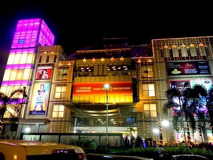
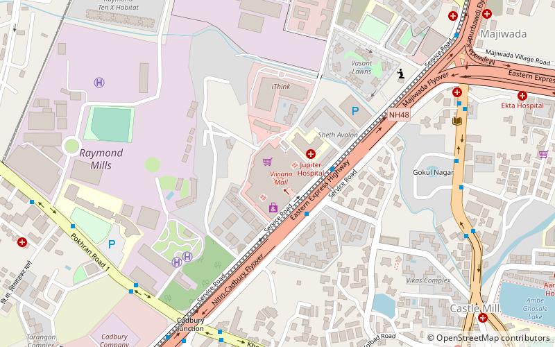
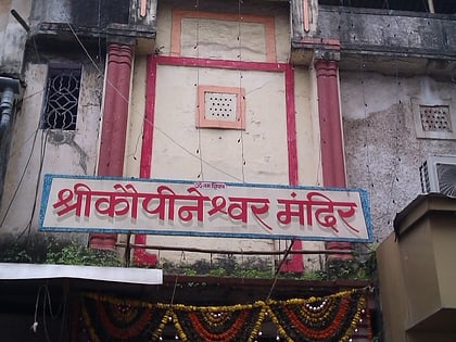
Nearby attractions include: Korum Mall, Dadaji Kondadev Stadium, Viviana Mall, Kopineshwar Mandir.
Frequently Asked Questions (FAQ)
How to get to Brindaban Society by public transport?
The nearest stations to Brindaban Society:
Bus
Train
Bus
- Vrindavan Bus Stop • Lines: 1, 6, Bus 6 (3 min walk)
- Abhiruchi • Lines: 1, 51, 54, 56, 59, 6, 61, 62, 95 (13 min walk)
Train
- Kalva (31 min walk)
