Damdama Lake
Map

Map

Facts and practical information
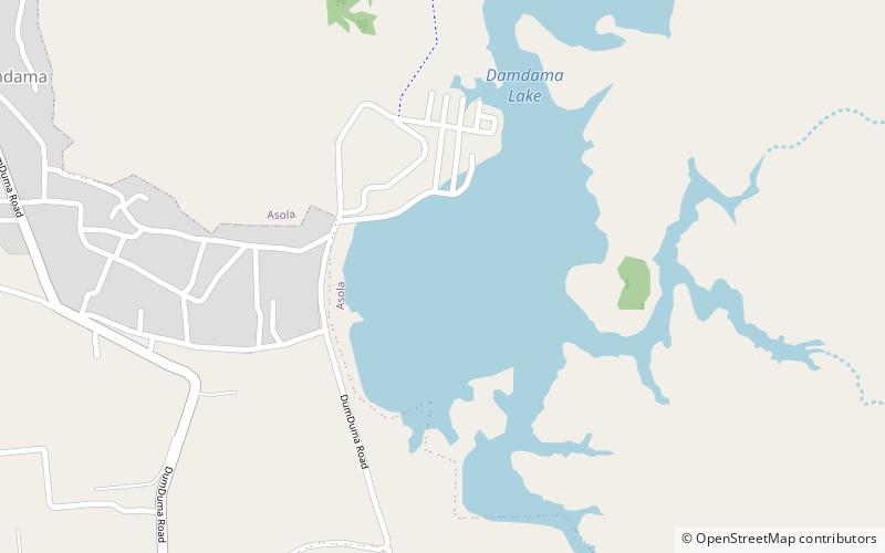
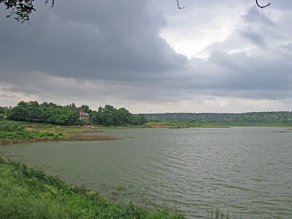
Damda reservoir in Gurugram district in the Indian state of Haryana. Damdama Lake is a small lake in Haryana and was formed when a stone and earthen dam constructed by the British was commissioned for rain water harvesting in 1947. The lake, held by an embankment, is fed mainly by monsoon rain pouring into a trough at the base of the Aravali hills. The Lake greets visitors with a water level down to 20 ft. During monsoon the water level reaches up to 50 ft - 70 ft. ()
Elevation: 725 ft a.s.l.Coordinates: 28°18'14"N, 77°7'44"E
Location
Haryana
Contact
+91 99534 23776
Social media
Add
Day trips
Damdama Lake – popular in the area (distance from the attraction)
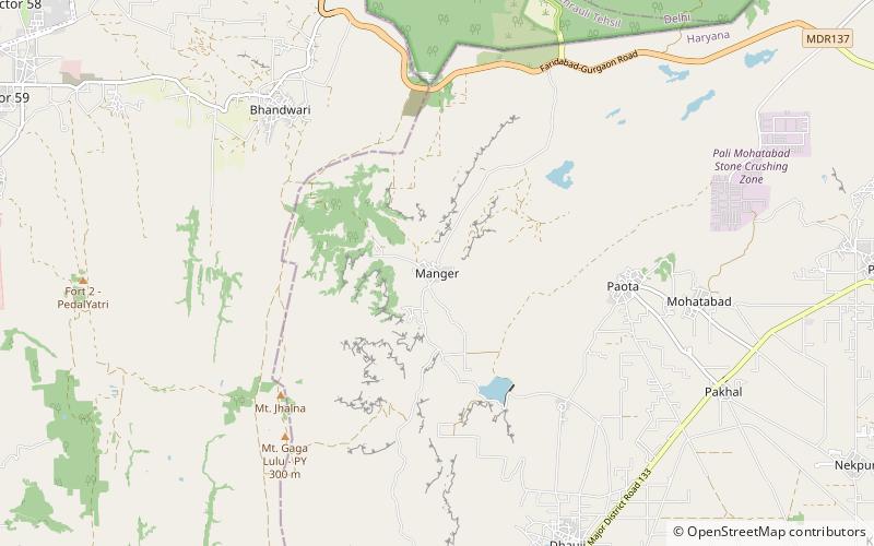
Nearby attractions include: Mangar Bani, Sohna.


