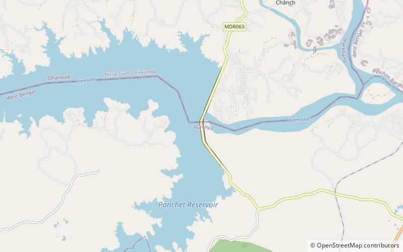
Panchet Dam

Gallery (1)
Map
Map
Facts and practical information
Panchet Dam was the last of the four multi-purpose dams included in the first phase of the Damodar Valley Corporation. It was constructed across the Damodar River at Panchet in Dhanbad district in the Indian state of Jharkhand, and opened in 1959. ()
Opened: 1959 (67 years ago)Length: 4.21 miHeight: 148 ftCoordinates: 23°40'41"N, 86°44'49"E
Location
Jharkhand
ContactAdd
Social media
Add
Day trips