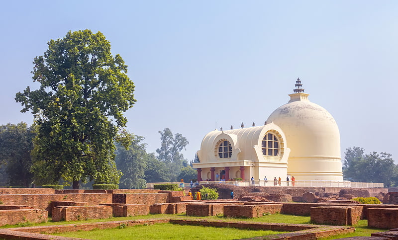
Ramabhar Stupa, Kushinagar

Gallery (1)
Map
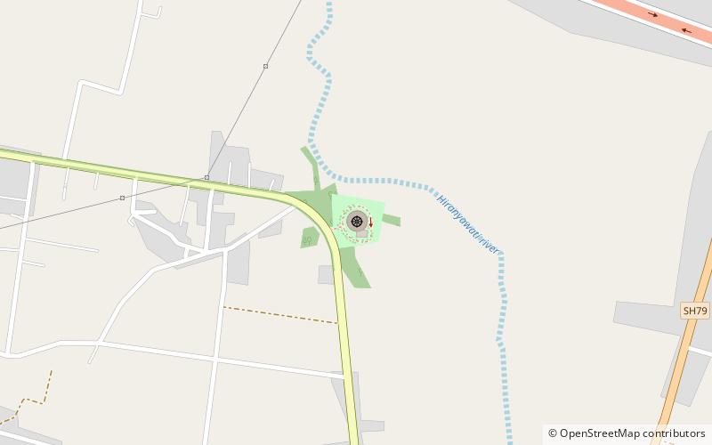
Map
Facts and practical information
Ramabhar Stupa is a place located in Kushinagar (Uttar Pradesh state) and belongs to the category of temple.
It is situated at an altitude of 266 feet, and its geographical coordinates are 26°44'10"N latitude and 83°54'18"E longitude.
Among other places and attractions worth visiting in the area are: Parinirvana Stupa (sacred and religious sites, 28 min walk).
Coordinates: 26°44'10"N, 83°54'18"E
Day trips
Ramabhar Stupa – popular in the area (distance from the attraction)
Nearby attractions include: Parinirvana Stupa.