Manjalar Dam
Map

Map

Facts and practical information
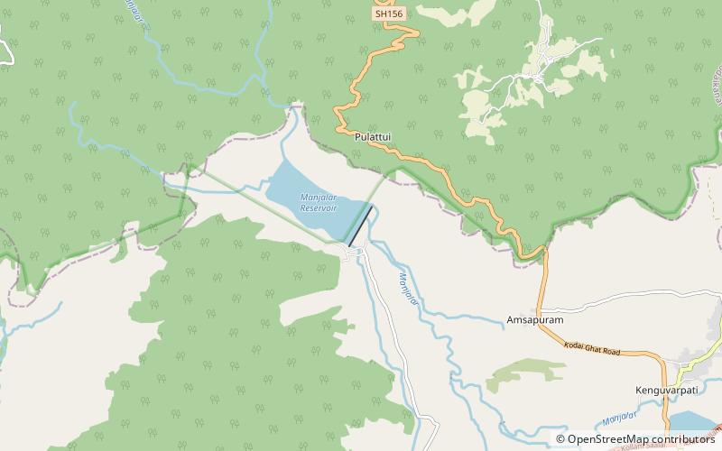
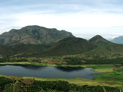
The Manjalar Dam is a dam across the Manjalar River in the Indian state of Tamil Nadu. Across the river at around 18 kilometres from Batlagundu bus stand. The dam is situated in Theni District, Manjalar Dam has been constructed for irrigation purposes. Manjalar Dam is at the end of Manjalar Road about 5.5 kilometres north from SH-36 at Devadanapatti town beginning along Kamatchi Amman temple road. Manjalar dam can be viewed from the Kodai Ghat road, en route to Kodaikanal, about 19 kilometres from Batlagundu. ()
Coordinates: 10°11'46"N, 77°38'2"E
Location
Tamil Nadu
ContactAdd
Social media
Add
Day trips
Manjalar Dam – popular in the area (distance from the attraction)
Nearby attractions include: Thalaiyar Falls.

