Phalut
Map

Map

Facts and practical information
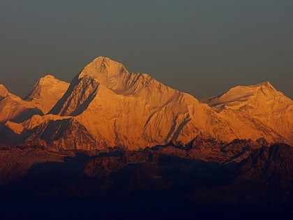
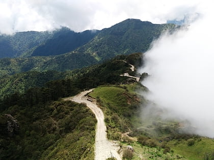
Phalut or Falut 3,600 metres is the second highest peak of West Bengal, India. Part of the Singalila Ridge in the Himalayas, it is located at the border of the Indian states of West Bengal and Sikkim and of Nepal. It is located inside the Singalila National Park. A small bunkhouse is near the top of the peak and is administered by the Indian army. Singalila Pass is 17 km away from Phalut. ()
Day trips
Phalut – popular in the area (distance from the attraction)
Nearby attractions include: Sandakphu, Haltu.


