Mehrauli, Delhi
Map
Gallery
Facts and practical information
Mehrauli is a neighbourhood in South Delhi, a district of Delhi in India. It represents a constituency in the legislative assembly of Delhi. The area is close to Gurgaon and next to Vasant Kunj. ()
Address
New Delhi (Mahrauli)Delhi
ContactAdd
Social media
Add
Day trips
Mehrauli – popular in the area (distance from the attraction)
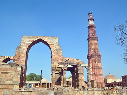
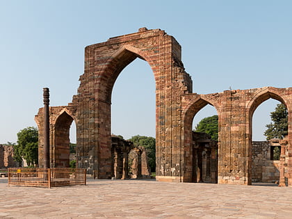
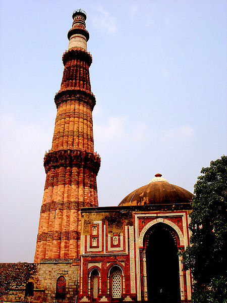
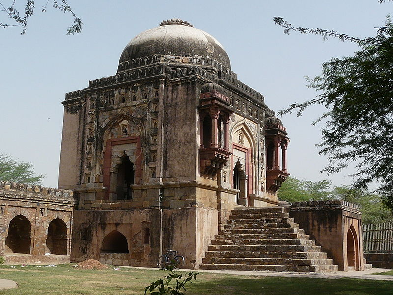
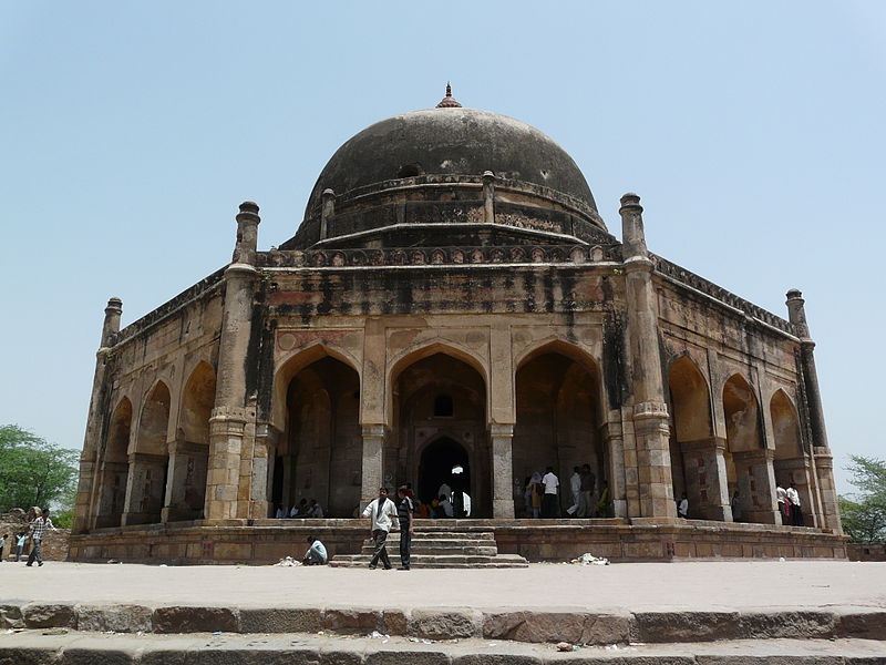
Nearby attractions include: Qutb complex, Qutb Minar, Iron Pillar, Mehrauli Archaeological Park.
Frequently Asked Questions (FAQ)
Which popular attractions are close to Mehrauli?
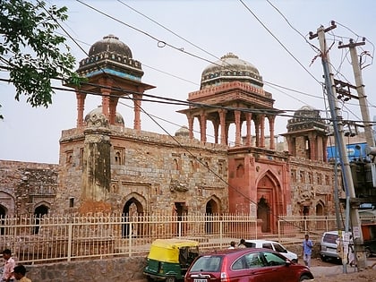
Nearby attractions include Zafar Mahal, Delhi (1 min walk), Hauz-i-Shamsi, Delhi (4 min walk), Jahaz Mahal, Delhi (4 min walk), Hijron Ka Khanqah, Delhi (11 min walk).
How to get to Mehrauli by public transport?
The nearest stations to Mehrauli:
Bus
Metro
Bus
- Andheria Crossing • Lines: 516, 517, 519, 523, 534A, 539, 539A, 604, 715, 717, 717A, 717B, Bpg, Ml-58 (13 min walk)
- Qutub Minar Metro Station • Lines: 516, 519, 523, 534A, 539, 539A, 604, 715, 717, 717A, Bpg, Ml-58 (13 min walk)
Metro
- Qutub Minar • Lines: Yellow Line (15 min walk)
- Chhatarpur • Lines: Yellow Line (17 min walk)


 Metro
Metro
