Taglang La
Map

Map

Facts and practical information
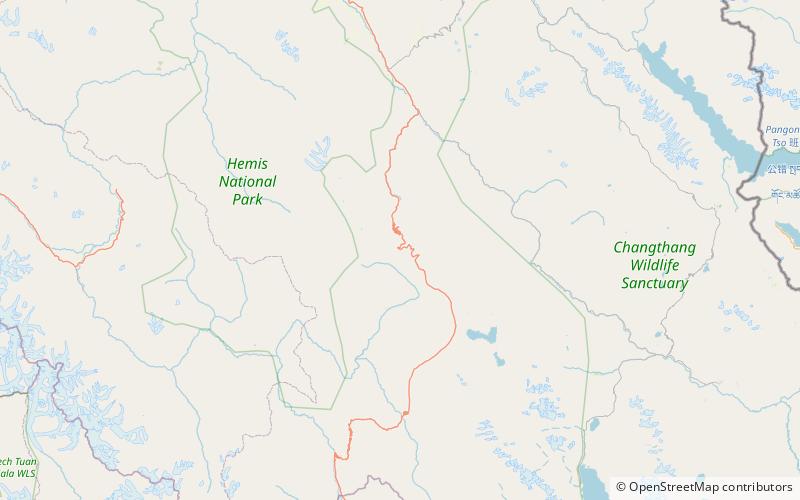
Taglang La or Tanglang La, elevation 5,328 metres, is a high altitude mountain pass in the Indian union territory of Ladakh. As of September 2018, the Leh–Manali Highway leading south from Upshi to Tanglang La is paved, with the exception of a very short unpaved section just north of the pass. The pass itself is paved. On ascending the pass from the Moore plains the road is well paved with occasional streams crossing. ()
Location
Jammu and Kashmir
ContactAdd
Social media
Add
