Chandra Taal
Map

Gallery

Facts and practical information
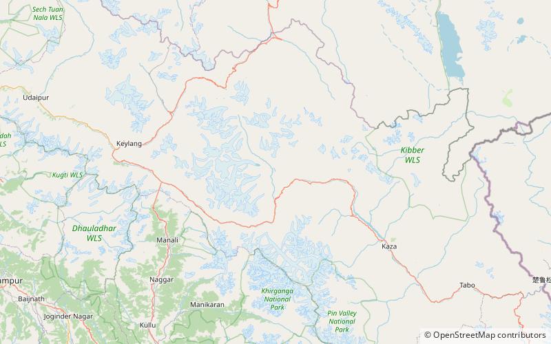
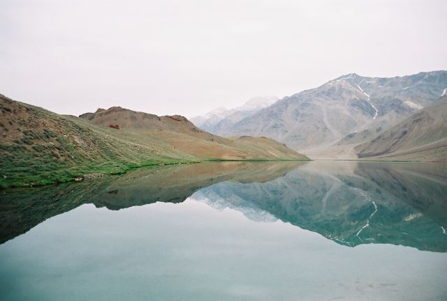
Tso Chigma or Chandra Taal, or Chandra Tal is a lake in the Lahaul part of the Lahul and Spiti district of Himachal Pradesh, India. Chandra Taal is near the source of the Chandra River. Despite the rugged and inhospitable surroundings, it is in a protected niche with some flowers and wildlife in summer. It is a favourite spot for tourists and high-altitude trekkers. It is usually associated with Spiti, but geographically is a part of Lahaul. Kunzum La separates Lahaul and Spiti valleys. ()
Local name: चंद्रताल Area: 121.08 acres (0.1892 mi²)Length: 3281 ftWidth: 1640 ftElevation: 14045 ft a.s.l.Coordinates: 32°28'31"N, 77°37'2"E
Location
Himachal Pradesh
ContactAdd
Social media
Add
Day trips
Chandra Taal – popular in the area (distance from the attraction)
Nearby attractions include: Kunzum Pass.

