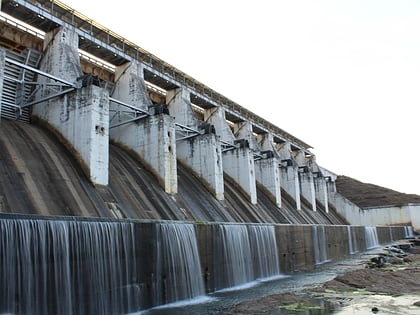
Tenughat Dam
Map

Map

Facts and practical information
Tenughat Dam is an earthfill dam with composite masonry cum concrete spillway across the Damodar River at Tenughat in Petarwar block of Bokaro district in the Indian state of Jharkhand. ()
Length: 3.11 miHeight: 180 ftCoordinates: 23°43'48"N, 85°49'55"E
Location
Jharkhand
ContactAdd
Social media
Add
