Hussain Shah Wali Dargah, Hyderabad
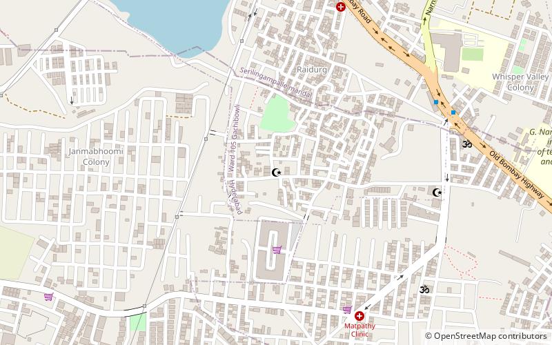
Map
Facts and practical information
Hussain Shah Wali Dargah is a place located in Hyderabad (Telangana state) and belongs to the category of mosque.
It is situated at an altitude of 1795 feet, and its geographical coordinates are 17°24'40"N latitude and 78°23'23"E longitude.
Planning a visit to this place, one can easily and conveniently get there by public transportation. Hussain Shah Wali Dargah is a short distance from the following public transport stations: Shaikpet Dargah (bus, 10 min walk).
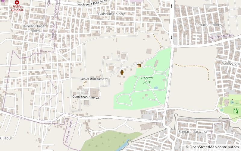
Among other places and attractions worth visiting in the area are: Shaikpet (library, 21 min walk), Qutub Shahi Tombs Site Museum (museum, 31 min walk), Qutb Shahi tombs (mausoleum, 31 min walk).
Coordinates: 17°24'40"N, 78°23'23"E
Address
North Serilingampally (Gachibowli)Hyderabad
ContactAdd
Social media
Add
Getting there by public transportation
Public transportation stops near this location
- Bus
 Bus
Bus
- Calculate routeShaikpet Dargah 10 min walk
- Calculate routeNarayanamma College 15 min walk
- Calculate routeKhajaguda X Roads 25 min walk
- Calculate routeSheikpet Nala 25 min walk
Day trips


Frequently Asked Questions (FAQ)
How to get to Hussain Shah Wali Dargah by public transport?
The nearest stations to Hussain Shah Wali Dargah:
Bus
Bus
- Shaikpet Dargah • Lines: 216M (10 min walk)
- Narayanamma College • Lines: 216M (15 min walk)