Trek Zone

Living Root Bridges, Cherrapunji
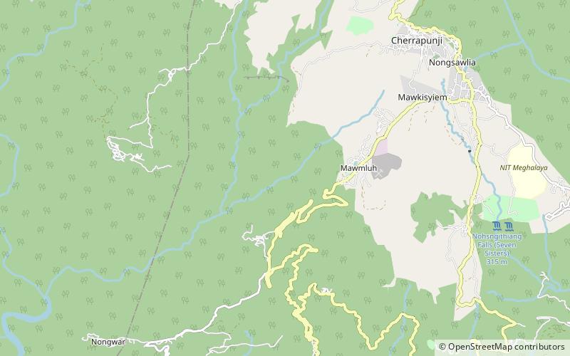
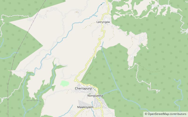
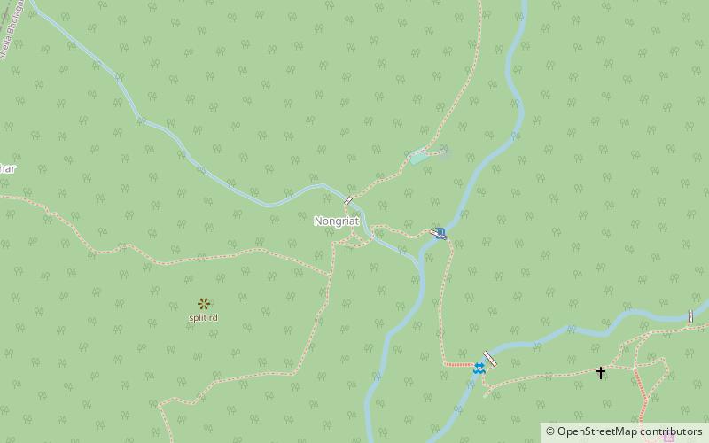
#6 among attractions in Cherrapunji

Bridge
Living Root Bridges location map
Map

Facts and practical information

Living Root Bridges is a place located in Cherrapunji (Meghalaya state) and belongs to the category of bridge.

It is situated at an altitude of 1732 feet, and its geographical coordinates are 25°15'13"N latitude and 91°41'15"E longitude.

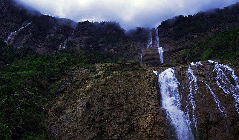
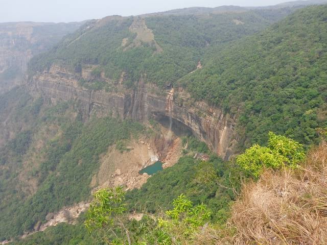
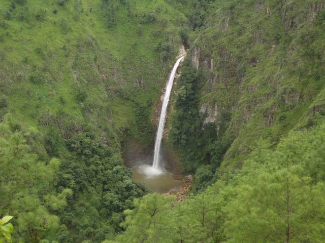
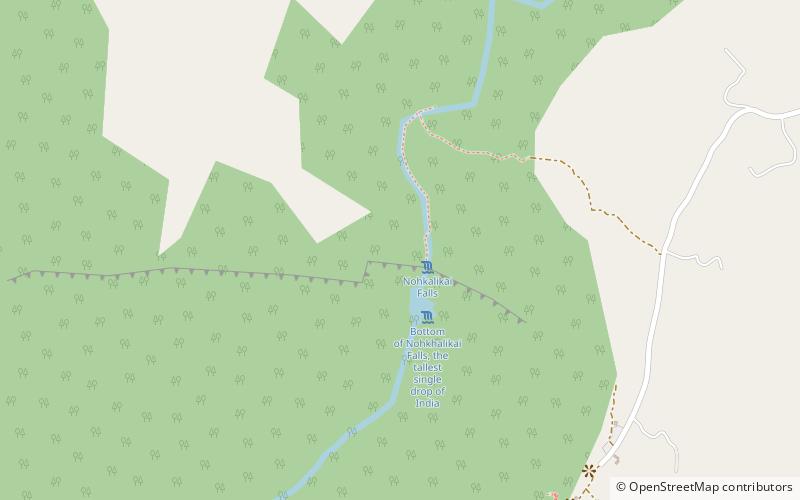
Among other places and attractions worth visiting in the area are: Double deck root bridge (bridge, 26 min walk), Nohkalikai Falls (nature, 39 min walk), Sweet Falls (nature, 40 min walk).

Coordinates: 25°15'13"N, 91°41'15"E
Address

Cherrapunji India

Contact
Social media
Add
Day trips

Living Root Bridges – popular in the area (distance from the attraction)

Nearby attractions include: Wah Kaba Falls, Nohsngithiang Falls, Kynrem Falls, Nohkalikai Falls.

  • wah kaba falls cherrapunji4.9 miNE
  • nohsngithiang falls cherrapunji3.4 miE
  • kynrem falls cherrapunji2.6 miSE
  • nohkalikai falls cherrapunji1.5 miN
  • sweet falls cherrapunji1.5 miN
  • ka likai cherrapunji location map
    1.6 miN
  • mawsmai caves cherrapunji location map
    2.4 miE
  • arwah cave cherrapunji location map
    4.2 miNE
  • double deck root bridge cherrapunji location map
    1 miW

Where to next? Visit meghalaya Meghalaya region page or discover the top tourist attractions in India.