Harmukh
Map

Gallery

Facts and practical information
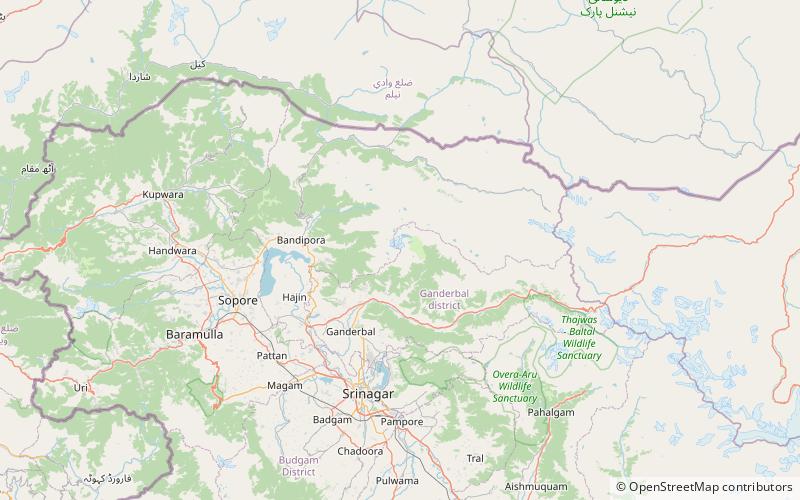
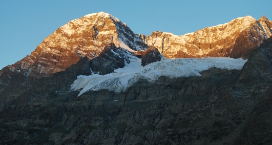
Mt Harmukh is a mountain with a peak elevation of 5,142 metres, in Bandipora district of Jammu and Kashmir in India. Harmukh is part of the Himalaya Range and is located between Sind River in the south and Kishanganga River in the north, rising above Gangabal Lake in the vicinity of Kashmir valley. It is mostly climbed from the northwestern side of Erin, Kodara, Bandipore. ()
Local name: हरमुख First ascent: 1856Elevation: 16870 ftProminence: 4797 ftCoordinates: 34°24'0"N, 74°54'30"E
Location
Jammu and Kashmir
ContactAdd
Social media
Add
Day trips
Harmukh – popular in the area (distance from the attraction)
Nearby attractions include: Gangabal Lake, Nundkol Lake, Satsar Lake.


