Government Polytechnic, Nagpur
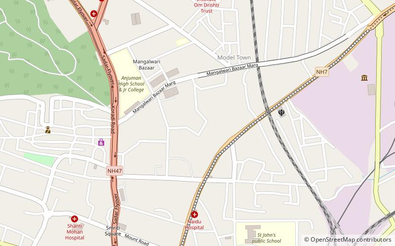
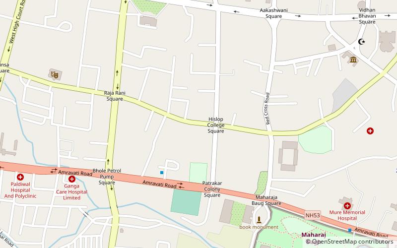
Map
Facts and practical information
The Government Polytechnic, Nagpur is an autonomous educational institution of the government of Maharashtra, a state in Western India. ()
Established: 19 July 1914 (111 years ago)Coordinates: 21°9'49"N, 79°4'60"E
Getting there by public transportation
Public transportation stops near this location
- Metro
- Train
 Metro
Metro
- Calculate routeKasturchand Park 17 min walk
- Calculate routeZero Mile 30 min walk
- Calculate routeNagpur Junction 22 min walk
Day trips


Frequently Asked Questions (FAQ)
Which popular attractions are close to Government Polytechnic?
Nearby attractions include Bishop Cotton School, Nagpur (14 min walk), Nagpur Central Museum, Nagpur (24 min walk).
How to get to Government Polytechnic by public transport?
The nearest stations to Government Polytechnic:
Metro
Train
Metro
- Kasturchand Park • Lines: Orange Line (17 min walk)
- Zero Mile • Lines: Orange Line (30 min walk)
Train
- Nagpur Junction (22 min walk)