Nettur, Thalassery
Map

Map

Facts and practical information
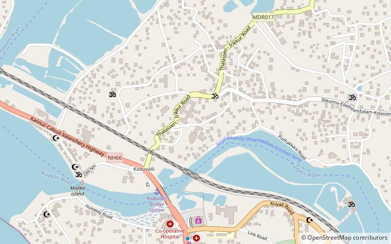
Nettur is a village segment which comes under the jurisdiction of Thalassery municipality, in the state of Kerala, India. It is situated in North Thalassery en route to Kannur via NH 17. The Anjarakandi-Thalassery state Highway passes through Nettur. Nettur is picturesquely nestled between the Kuyyali and Anjarakandi rivers. ()
Coordinates: 11°46'7"N, 75°28'51"E
Address
Thalassery
ContactAdd
Social media
Add
Day trips
Nettur – popular in the area (distance from the attraction)
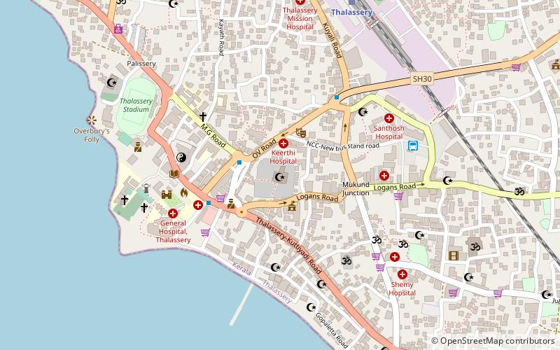
Nearby attractions include: Thalassery Fort, Overbury's Folly, Thiruvangad Sree Ramaswami Temple, Jagannath Temple.
Frequently Asked Questions (FAQ)
How to get to Nettur by public transport?
The nearest stations to Nettur:
Bus
Train
Bus
- Ksrtc Depot, Thalassery (14 min walk)
- Kerala State Road Transport Bus Depot Thalasserry (14 min walk)
Train
- Thalassery (33 min walk)


