Kenjalgad, Chaul

Gallery (4)
Map

Map
Gallery
Facts and practical information
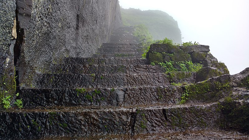
Kenjalgad Fort in Wai, Maharashtra is a fort eleven miles north-west of Wai. It is located on the Mandhardev spur of the Mahadev hill range. The fort is visible from quite a long distance as a stone scarp 30–40 feet high rising as a cap on the irregular hill. The fort is rhomboid in shape with 388m long axis and 175m short axis. ()
Coordinates: 18°32'9"N, 72°54'29"E
Address
Chaul
ContactAdd
Social media
Add
Day trips


