Kolahoi Peak
Map

Map

Facts and practical information
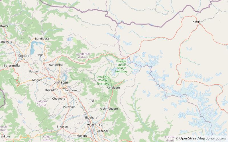
Kolahoi Peak is a mountain with a peak elevation of 17,799 ft located in Anantnag district, Jammu and Kashmir, India. The mountain is the highest mountain in Kashmir Division. Kolahoi Peak is easily accessible through Aru valley and lies in the vicinity of Sonamarg in Ganderbal district. Kolahoi Peak is part of the Great Himalayan range, and is located 21 km north of Aru near Pahalgam. To its north flows the Sind River, while the Lidder River originates from the glacier located on the mountain and flows south. ()
Location
Jammu and Kashmir
ContactAdd
Social media
Add
Day trips
Kolahoi Peak – popular in the area (distance from the attraction)
Nearby attractions include: Overa-Aru Wildlife Sanctuary.

