Panchachuli
Map

Gallery

Facts and practical information
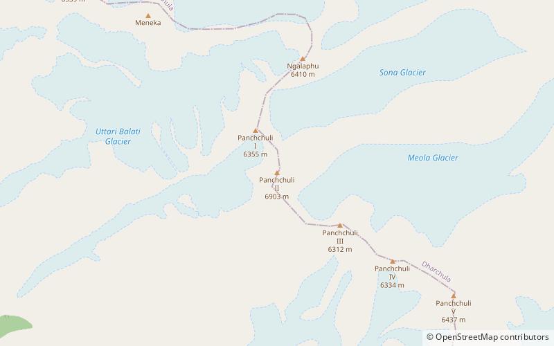
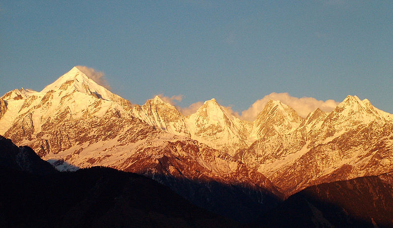
The Panchachuli peaks are a group of five snow-capped Himalayan peaks lying at the end of the eastern Kumaon region, near Dugtu Village Darma valley. The peaks have altitudes ranging from 6,334 metres to 6,904 metres. They form the watershed between the Gori and the Darmaganga valleys. Panchchuli is also located on the Gori Ganga-Lassar Yankti divide. The group lies 138 km from Pithoragarh. The first ascent of this range was done by Indo-Tibet Border Police team in 1972, via Uttari Balati glacier, led by Hukam Singh. ()
Local name: पंचाचूली पर्वत First ascent: 1973Elevation: 22651 ftProminence: 5295 ftCoordinates: 30°12'50"N, 80°25'33"E
Location
Uttarakhand
ContactAdd
Social media
Add
