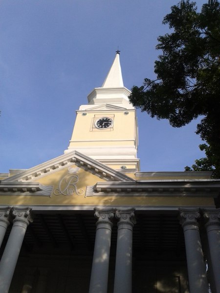
St. Olav's Church

Gallery (3)
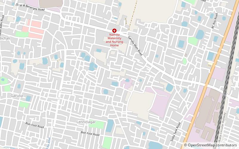
Map
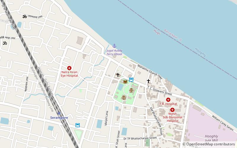
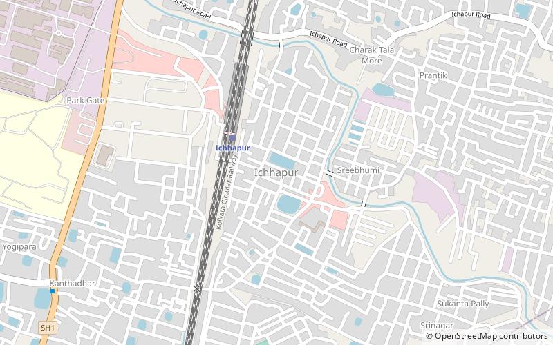
Map
Gallery
Facts and practical information
St. Olav's Church is a protestant church under the supervision of Church of North India and the Serampore College Council. It is located in Serampore, West Bengal. ()
Completed: 1806 (220 years ago)Spire height: 82 ftCoordinates: 22°45'26"N, 88°20'33"E
Location
West Bengal
ContactAdd
Social media
Add
Day trips