Waluj MIDC, Aurangabad
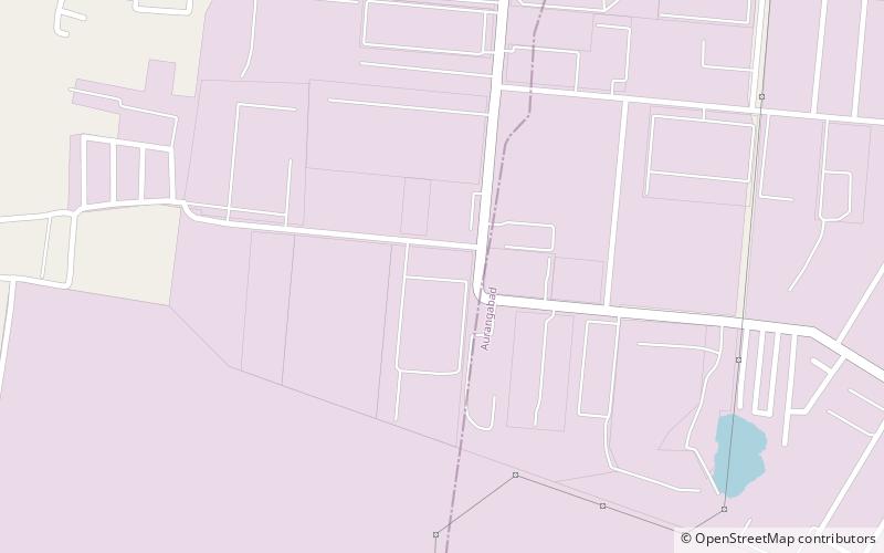
Map
Facts and practical information
Waluj MIDC After 1960, Maharashtra Industrial Development Corporation began acquiring land and setting up industrial estates. Land was acquired near Waluj Village on Aurangabad - Ahmednagar highway in the 1970s & 1980s. Total notified area is 1298 hectares. ()
Elevation: 1755 ft a.s.l.Coordinates: 19°49'54"N, 75°14'5"E
Address
Aurangabad
ContactAdd
Social media
Add
Day trips
Waluj MIDC – popular in the area (distance from the attraction)
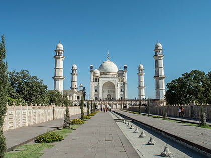
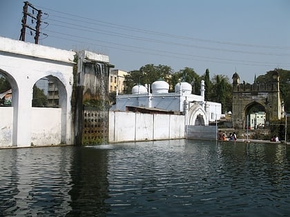
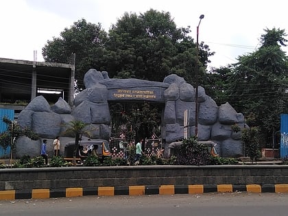
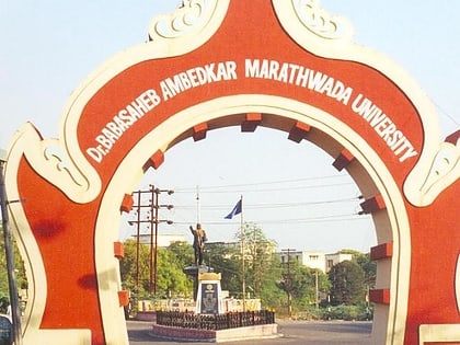
Nearby attractions include: Bibi Ka Maqbara, Panchakki, Siddharth Garden and Zoo, Dr. Babasaheb Ambedkar Marathwada University.
