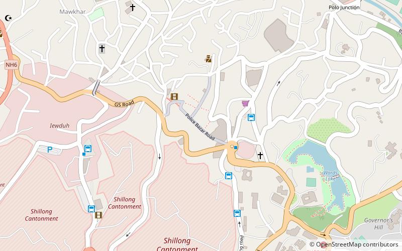
Police Bazar Road, Shillong
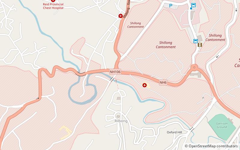
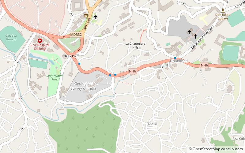
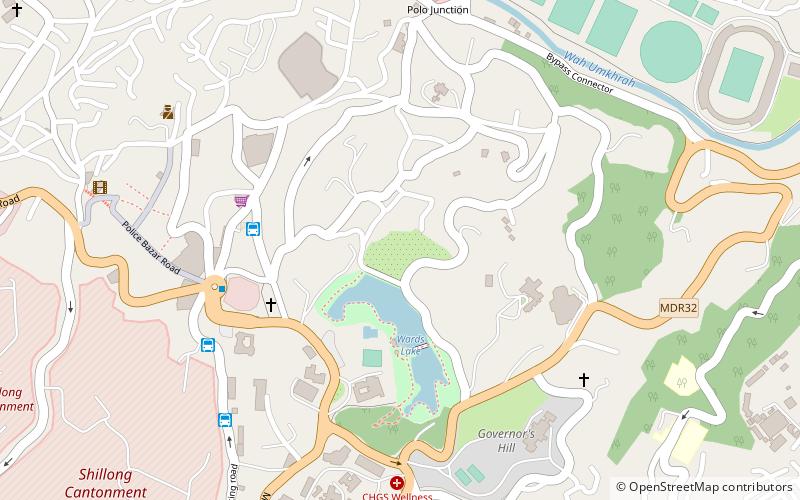
Map
Facts and practical information
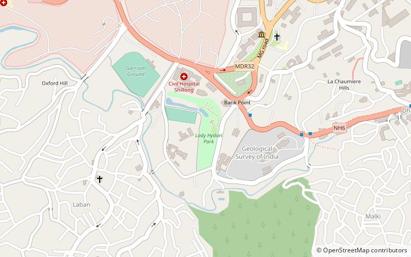
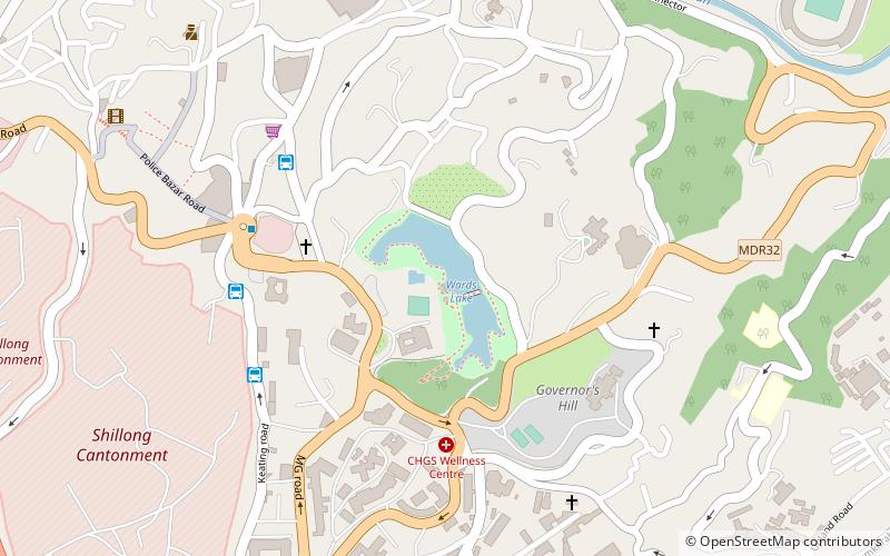
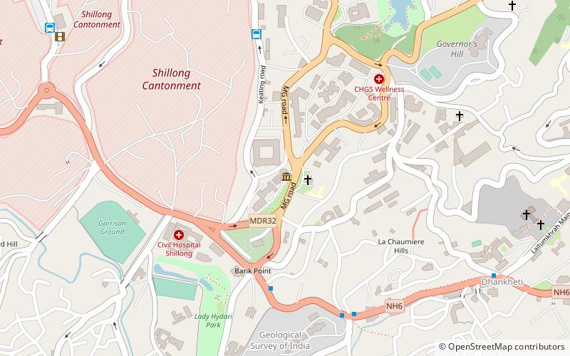
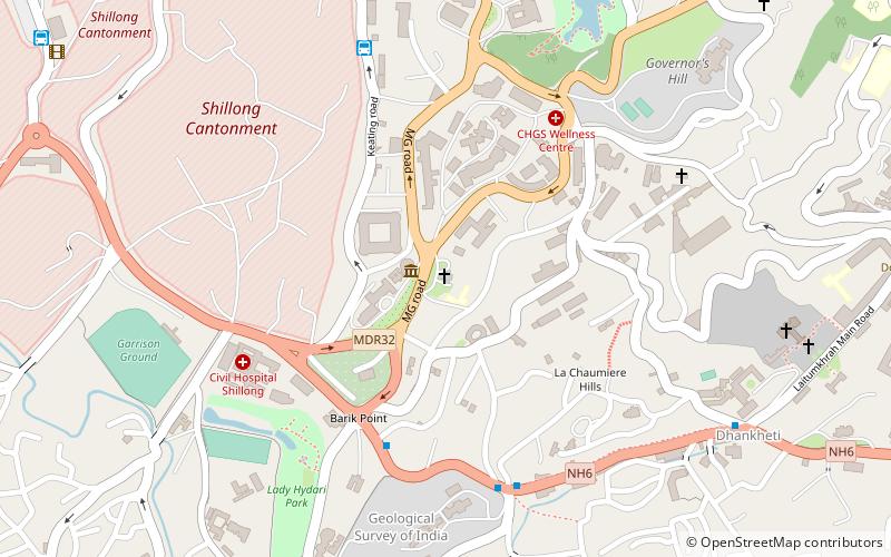
Police Bazar Road is a place located in Shillong (Meghalaya state) and belongs to the category of neighbourhood, square.
It is situated at an altitude of 4872 feet, and its geographical coordinates are 25°34'36"N latitude and 91°52'53"E longitude.
Planning a visit to this place, one can easily and conveniently get there by public transportation. Police Bazar Road is a short distance from the following public transport stations: MTC Bus station (bus, 4 min walk).
Among other places and attractions worth visiting in the area are: Botanical Gardens (park, 9 min walk), Wards Lake (body of water, 9 min walk), State Museum (museum, 14 min walk).
Coordinates: 25°34'36"N, 91°52'53"E
Address
Shillong
ContactAdd
Social media
Add
Getting there by public transportation
Public transportation stops near this location
- Bus
 Bus
Bus
- Calculate routeMTC Bus station 4 min walk
- Calculate routeSumo to Guwahati 4 min walk
- Calculate routeSumo stand 7 min walk
- Calculate routeDawki - Guwahati bus stand 10 min walk
Day trips

Frequently Asked Questions (FAQ)
Which popular attractions are close to Police Bazar Road?
Nearby attractions include Botanical Gardens, Shillong (9 min walk), Wards Lake, Shillong (9 min walk), State Museum, Shillong (14 min walk), All Saints Cathedral, Shillong (14 min walk).
How to get to Police Bazar Road by public transport?
The nearest stations to Police Bazar Road:
Bus
Bus
- MTC Bus station (4 min walk)
- Sumo to Guwahati (4 min walk)