Minicoy Island Lighthouse

Gallery (1)
Map
Map
Facts and practical information
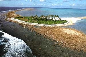
The Minicoy Island Lighthouse, which was established on 2 February 1885 at the southern end of the Minicoy Island in the Indian state of Lakshadweep during the British regime, is 49.5 metres in height and has now a range of 40 nautical miles it is built in brick masonry and has a lantern and gallery. ()
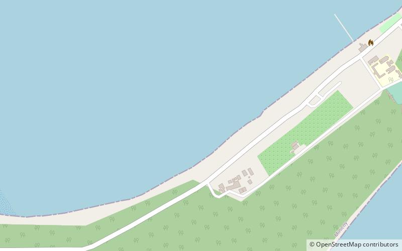
Coordinates: 8°16'40"N, 73°2'50"E
Location
Lakshadweep
ContactAdd
Social media
Add
Day trips
Minicoy Island Lighthouse – popular in the area (distance from the attraction)
Nearby attractions include: Minicoy, Viringili.