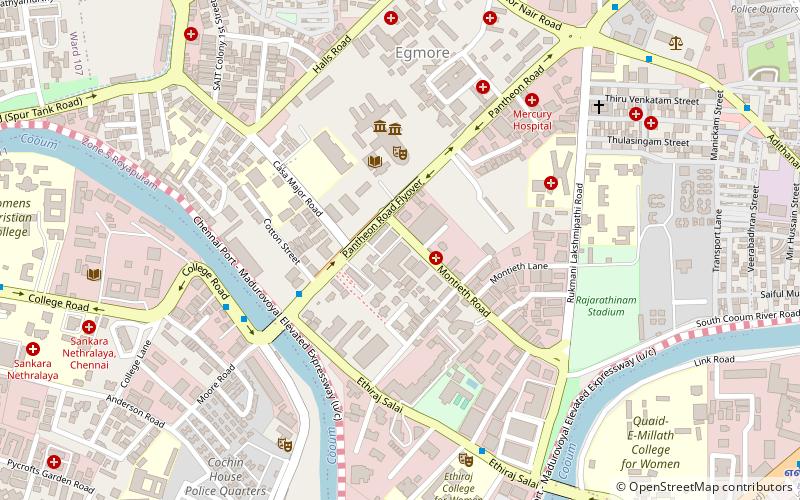
Rajarathinam Stadium, Chennai
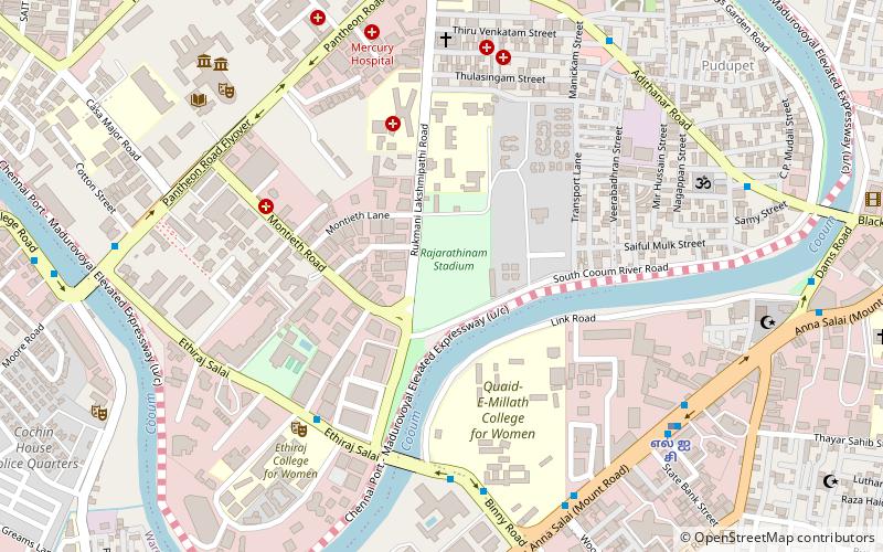
Map
Facts and practical information
Coordinates: 13°4'2"N, 80°15'41"E
Address
Nungambakkam (Pudupet)Chennai
ContactAdd
Social media
Add
Getting there by public transportation
Public transportation stops near this location
- Metro
- Bus
- Light rail
- Train
 Metro
Metro
- Calculate routeLic 10 min walk
- Calculate routeThousand Lights 16 min walk
- Calculate routeGovernment Estate 21 min walk
- Calculate routeEgmore Metro 24 min walk
- Calculate routeWoodlands Theatre 19 min walk
- Calculate routeEgmore Railway Station 22 min walk
- Calculate routeSimson 22 min walk
- Calculate routeChennai Egmore 20 min walk
- Calculate routeChennai Park 32 min walk
- Calculate routeM.G.R Chennai Central Suburban Terminal 34 min walk
- Calculate routePuratchi Thalaivar Dr. M. G. Ramachandran Central 37 min walk
- Calculate routeChintadaripet 25 min walk
Day trips


Frequently Asked Questions (FAQ)
Which popular attractions are close to Rajarathinam Stadium?
Nearby attractions include Avinashi Road, Chennai (10 min walk), Anna Salai, Chennai (10 min walk), Chintadripet, Chennai (10 min walk), Bahram Jung Mosque, Chennai (10 min walk).
How to get to Rajarathinam Stadium by public transport?
The nearest stations to Rajarathinam Stadium:
Metro
Bus
Train
Light rail
Metro
- Lic • Lines: 1 (10 min walk)
- Thousand Lights • Lines: 1 (16 min walk)
Bus
- Woodlands Theatre • Lines: 5C (19 min walk)
- Egmore Railway Station (22 min walk)
Train
- Chennai Egmore (20 min walk)
- Chennai Park (32 min walk)
Light rail
- Chintadaripet • Lines: 1 (25 min walk)