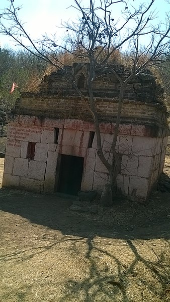
Vardhangad Fort

Gallery (3)
Map
Map
Gallery
Facts and practical information
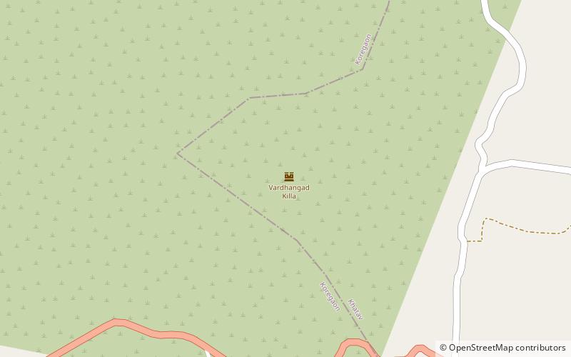
Vardhangad Fort {वर्धनगड} lies on the Bhadle-Kundla spur of the Mahadev range at a point of it on the boundary between the Koregaon and Khatav Talukas, seven miles north-east of Koregaon and nine miles north-east of Satara. ()
Coordinates: 17°43'33"N, 74°15'48"E
Location
Maharashtra
ContactAdd
Social media
Add