Annapurna Mata Ka Mandir, Rajsamand
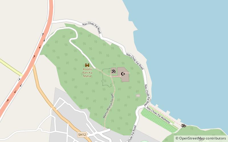
Map
Facts and practical information
Annapurna Mata Ka Mandir is a place located in Rajsamand (Rajasthan state) and belongs to the category of temple.
It is situated at an altitude of 2090 feet, and its geographical coordinates are 25°4'18"N latitude and 73°52'19"E longitude.
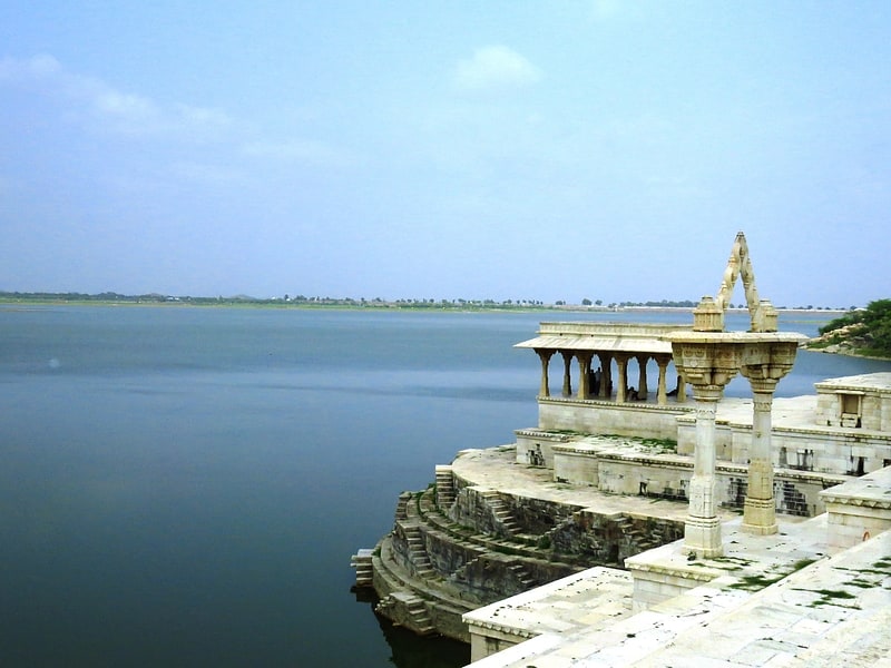
Among other places and attractions worth visiting in the area are: Rajsamand Lake (nature, 26 min walk).
Coordinates: 25°4'18"N, 73°52'19"E
Address
Rajsamand
ContactAdd
Social media
Add
Day trips
Annapurna Mata Ka Mandir – popular in the area (distance from the attraction)
Nearby attractions include: Rajsamand Lake.