Mayor Radhakrishnan Stadium, Chennai
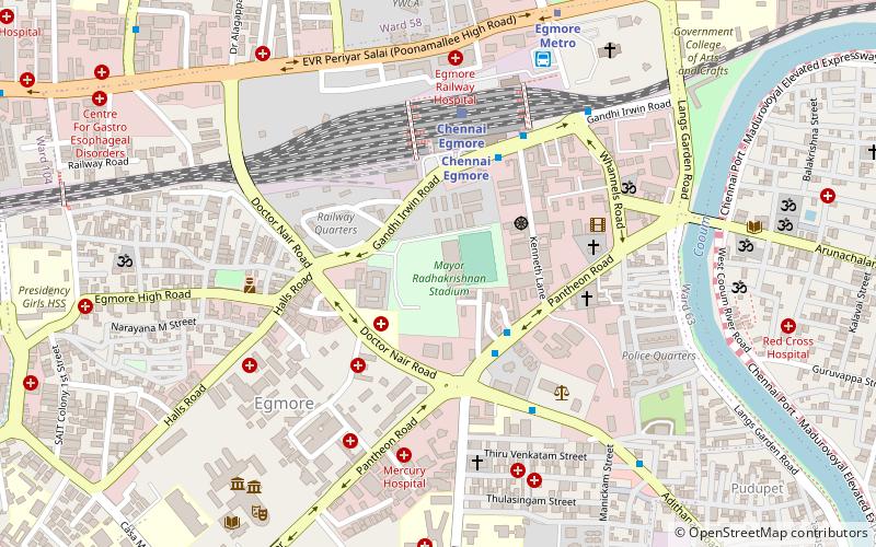
Map
Facts and practical information
Mayor Radhakrishnan Stadium is a field hockey stadium at Chennai, Tamil Nadu, India. Named after M. Radhakrishna Pillai, it was the venue to the 1996 Men's Champions Trophy, and hosted the tournament again in December 2005. It was also the venue for 2007 edition of Asian Hockey Championship, in which India triumphed by a thumping margin of 7-2 over South Korea. It is also the venue for all division matches of the Chennai Hockey Association and the home ground of the World Series Hockey team Chennai Cheetahs. ()
Capacity: 8670Coordinates: 13°4'31"N, 80°15'39"E
Address
Nungambakkam (Egmore)Chennai
ContactAdd
Social media
Add
Getting there by public transportation
Public transportation stops near this location
- Metro
- Bus
- Light rail
- Train
 Metro
Metro
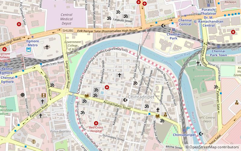
- Calculate routeChennai Egmore 5 min walk
- Calculate routeChennai Park 24 min walk
- Calculate routeM.G.R Chennai Central Suburban Terminal 25 min walk
- Calculate routePuratchi Thalaivar Dr. M. G. Ramachandran Central 29 min walk
- Calculate routeEgmore Railway Station 9 min walk
- Calculate routeRipon Building 24 min walk
- Calculate routeSimson 25 min walk
- Calculate routeEgmore Metro 10 min walk
- Calculate routeNehru Park 19 min walk
- Calculate routeLic 22 min walk
- Calculate routeGovernment Estate 24 min walk
- Calculate routeChintadaripet 23 min walk
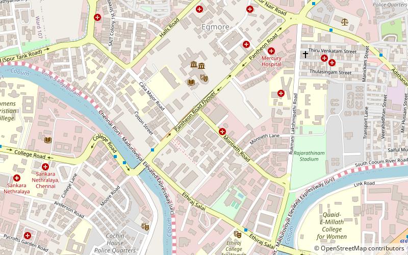
Day trips


Frequently Asked Questions (FAQ)
Which popular attractions are close to Mayor Radhakrishnan Stadium?
Nearby attractions include Egmore, Chennai (6 min walk), St Andrew's Church, Chennai (10 min walk), Government Museum, Chennai (10 min walk), Wesley Church, Chennai (10 min walk).
How to get to Mayor Radhakrishnan Stadium by public transport?
The nearest stations to Mayor Radhakrishnan Stadium:
Train
Bus
Metro
Light rail
Train
- Chennai Egmore (5 min walk)
- Chennai Park (24 min walk)
Bus
- Egmore Railway Station (9 min walk)
- Ripon Building • Lines: 15B (24 min walk)
Metro
- Egmore Metro • Lines: 2 (10 min walk)
- Nehru Park • Lines: 2 (19 min walk)
Light rail
- Chintadaripet • Lines: 1 (23 min walk)