Trek Zone

Ranchi Hill, Ranchi

#3 among attractions in Ranchi

Sightseeing
Ranchi Hill location map
Map

Facts and practical information

Ranchi Hill is a place located in Ranchi (Jharkhand state) and belongs to the category of sightseeing.

It is situated at an altitude of 2329 feet, and its geographical coordinates are 23°22'31"N latitude and 85°18'39"E longitude.

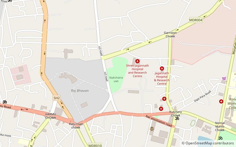
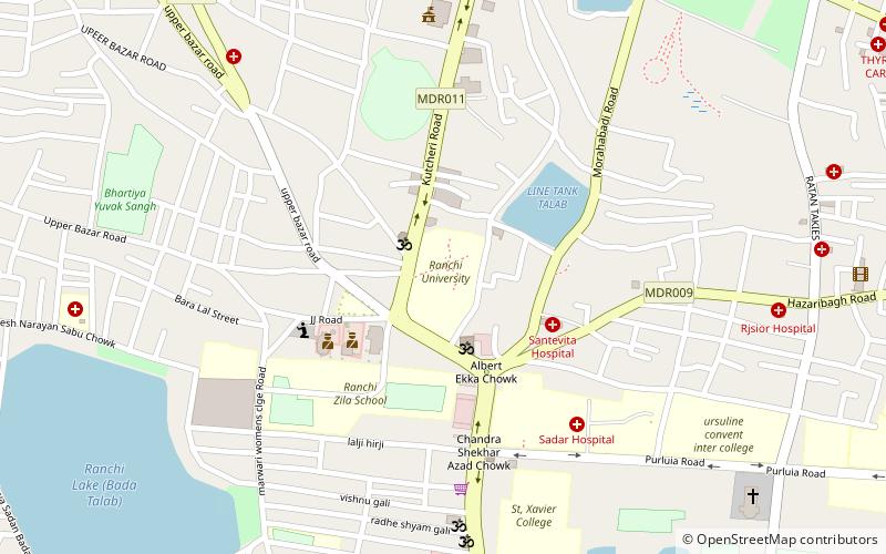
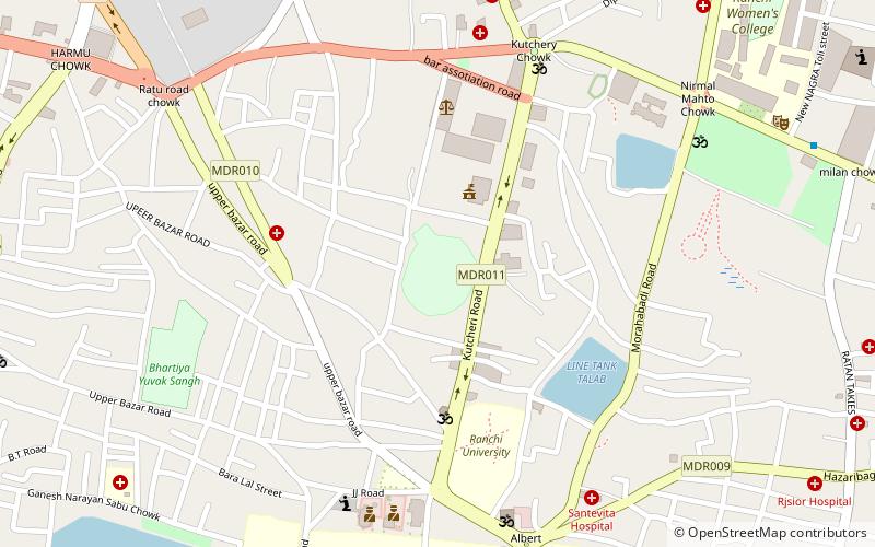
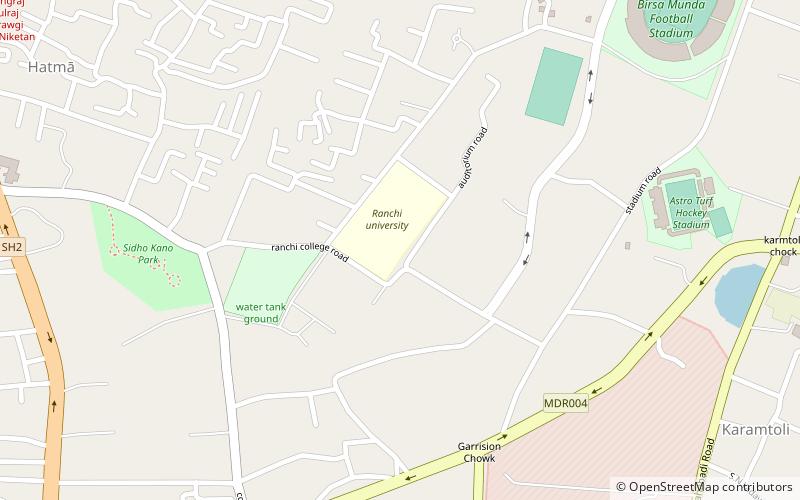
Among other places and attractions worth visiting in the area are: Nakshatra van (park, 21 min walk), Jaipal Singh Stadium (sport, 21 min walk), Ranchi University (universities and schools, 23 min walk).

Coordinates: 23°22'31"N, 85°18'39"E
Address

Ranchi India

ContactAdd
Social media
Add
Day trips

Ranchi Hill – popular in the area (distance from the attraction)

Nearby attractions include: JD HI Street MALL, Nakshatra van, G.E.L Church Complex, Ranchi University.

  • jd hi street mall ranchi location map
    1.5 miSE
  • nakshatra van ranchi location map
    0.8 miNE
  • g e l church complex ranchi location map
    1.5 miSE
  • ranchi university location map
    0.9 miE
  • st ranchi1.1 miSE
  • birsa munda hockey stadium ranchi location map
    1.5 miNE
  • jaipal singh stadium ranchi location map
    0.8 miE
  • birsa munda football stadium ranchi location map
    1.7 miNE
  • ranchi college location map
    1.2 miNE

Frequently Asked Questions (FAQ)

Which popular attractions are close to Ranchi Hill?

Nearby attractions include Nakshatra van, Ranchi (21 min walk), Ranchi University, Ranchi (23 min walk).

Where to next? Visit jharkhand Jharkhand region page or discover the top tourist attractions in India.