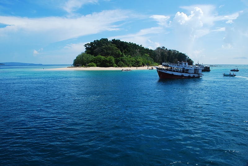
Chidiya Tapu Beach, Port Blair

Map
Facts and practical information
Chidiya Tapu Beach is a place located in Port Blair (Andaman and Nicobar union territory) and belongs to the category of sightseeing.
It is situated at an altitude of 33 feet, and its geographical coordinates are 11°30'21"N latitude and 92°42'5"E longitude.
Among other places and attractions worth visiting in the area are: Munda Pahar beach (beach, 28 min walk), Mahatma Gandhi Marine National Park, Baratang Island (national park, 138 min walk).
Coordinates: 11°30'21"N, 92°42'5"E
Address
Port Blair
ContactAdd
Social media
Add
Day trips