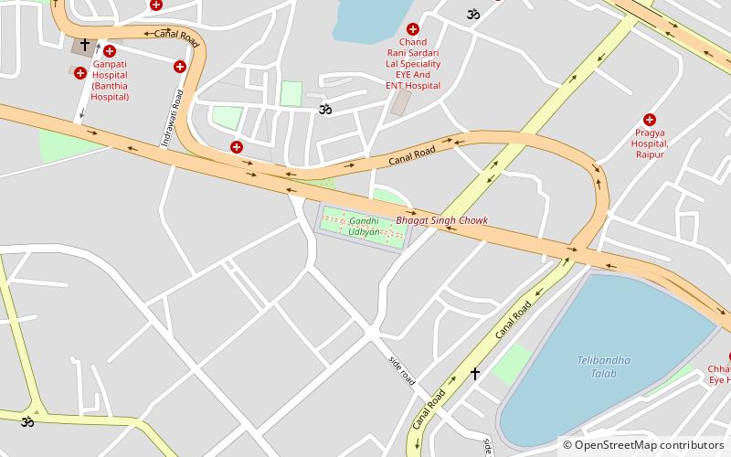
Katora Talab, Raipur
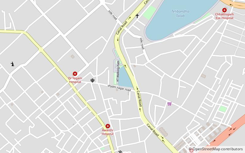
Map
Facts and practical information
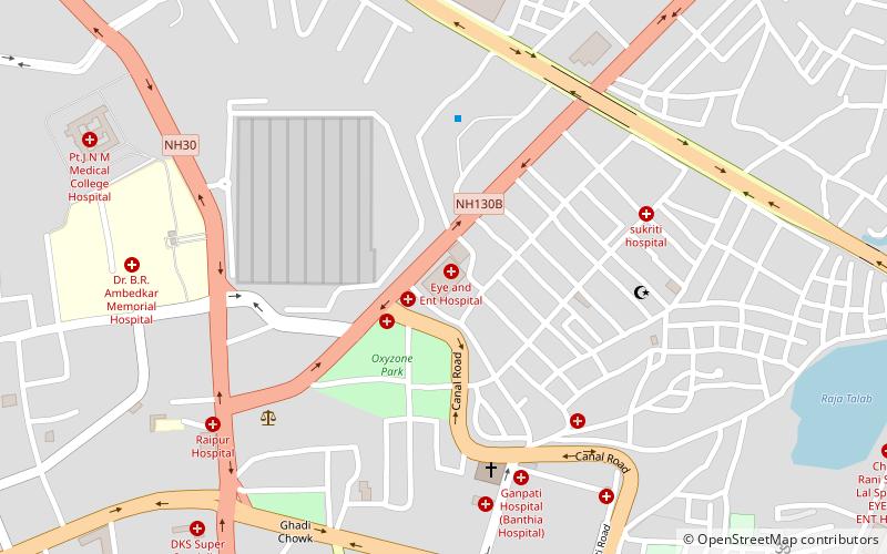
Katora Talab is a place located in Raipur (Chhattisgarh state) and belongs to the category of sightseeing.
It is situated at an altitude of 981 feet, and its geographical coordinates are 21°14'5"N latitude and 81°39'18"E longitude.
Planning a visit to this place, one can easily and conveniently get there by public transportation. Katora Talab is a short distance from the following public transport stations: Telibandha (train, 27 min walk).
Among other places and attractions worth visiting in the area are: Gandhi Udhyan (park, 13 min walk), Shyam Plaza (shopping, 30 min walk), Lalganga Shopping Mall (shopping, 31 min walk).
Coordinates: 21°14'5"N, 81°39'18"E
Address
Raipur
ContactAdd
Social media
Add
Getting there by public transportation
Public transportation stops near this location
- Train
 Train
Train
- Calculate routeTelibandha 27 min walk
Day trips
Frequently Asked Questions (FAQ)
How to get to Katora Talab by public transport?
The nearest stations to Katora Talab:
Train
Train
- Telibandha (27 min walk)