Hokersar
#2940 among destinations in India


Facts and practical information
The Hokersar is a wetland conservation area in Zainakote near Srinagar in Jammu and Kashmir, India. It lies in the Kashmir Valley, 10 kilometres northwest of Srinagar. The Hokersar, which spreads over 1,375 hectares, is a designated bird sanctuary. ()
Jammu and KashmirIndia
Hokersar – popular in the area (distance from the attraction)
Nearby attractions include: Kashmir Valley, Anchar Lake, Gil Sar, Budgam.
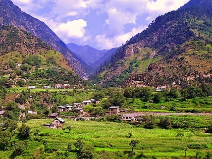 Valley, Nature, Natural attraction
Kashmir Valley, Srinagar
124 min walk • The Kashmir Valley, also known as the Vale of Kashmir, is an intermontane valley concentrated in the Kashmir Division of Indian-administered Jammu and Kashmir. The valley is bounded on the southwest by the Pir Panjal Range and on the northeast by the main Himalayas range.
 Natural attraction, Lake, Body of water
Anchar Lake, Srinagar
147 min walk • Anchar Lake is a lake located near Soura area in the city of Srinagar, Jammu and Kashmir, India. Situated close to Ganderbal, the lake is connected with the famous Dal Lake via a channel "Amir Khan Nallah" which passes through Gilsar and Khushal Sar.
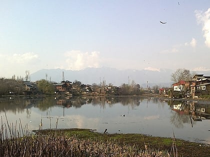 Nature, Natural attraction, Lake
Gil Sar, Srinagar
148 min walk • Gil Sar is a freshwater lake located in Srinagar, Jammu and Kashmir, India. It is in a highly deteriorated condition. The lake is sometimes considered a part of the Khushal Sar lake but is separated from it by a narrow strait, which is spanned by a bridge known as Gil Kadal.
 Area
AreaBudgam, Srinagar
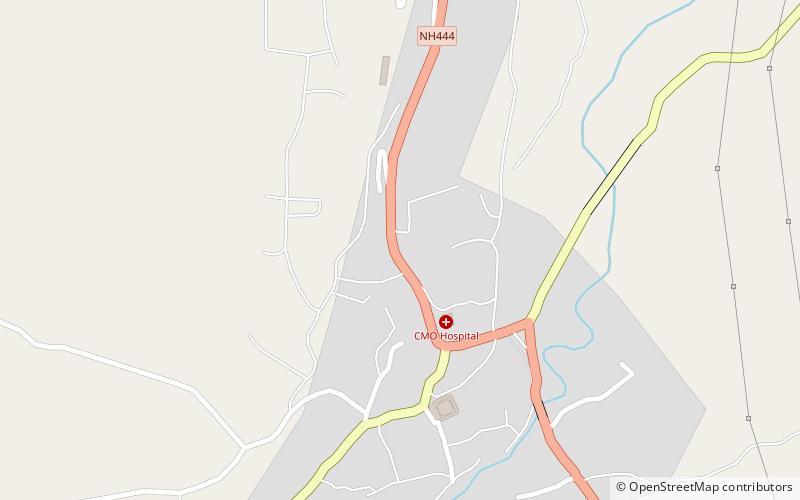
138 min walk • Budgam, known as Badgom in Kashmiri, is a town in Budgam district in the union territory of Jammu and Kashmir, India. In the 2001 census, it was recorded as having a notified area committee, but by the 2011 census it had a municipal committee.
 Nature, Natural attraction, Lake
Khushal Sar, Srinagar
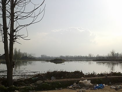
138 min walk • Khushal Sar is a lake located in Srinagar, Jammu and Kashmir, India. It is in a highly deteriorated condition and has been encroached upon at many places with illegal construction and landfilling. The lake once stretched from Zoonimar up to the Aali Masjid but now it is considerably reduced.
 Mosque
Aali Masjid, Srinagar
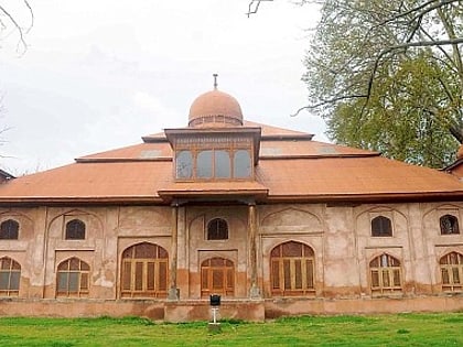
128 min walk • Aali Mosque is a mosque located in the Srinagar city in Jammu and Kashmir. It was constructed in 1471 A.D.during the reign of Shamiri king Sultan Hassan Shah. The structure is the largest existing historic mosque constructed within the premises of Eidgah Srinagar.
 Sacred and religious sites, Islamic architecture
Aga Sahib Shrine, Srinagar
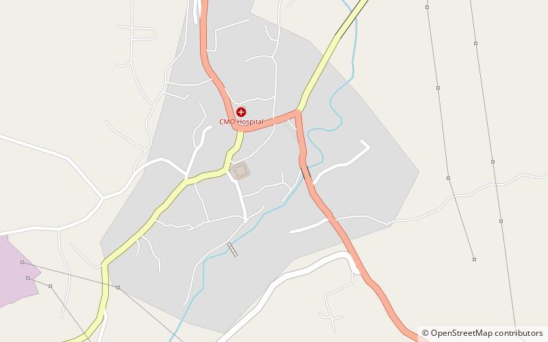
143 min walk • Aga Sahib Shrine or Ziyarat e Sarkaar or Aga Mehdi Shrine is a religious place of Kashmiri Muslims located at Budgam.
 Area
AreaSalim Ali National Park, Srinagar
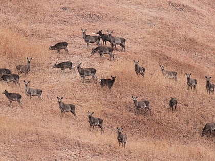
143 min walk • Salim Ali National Park or City Forest National Park is a national park located in Srinagar, Jammu and Kashmir, India. It covered an area of 9.07 km². Notified in 1986, the name of the park commemorated the Indian ornithologist Salim Ali.
 Village, Cemetery
Mosavi Cemetery, Srinagar
143 min walk • Wahabpora is a village in district Budgam in Indian administered union territory of Jammu and Kashmir, India. Situated on the banks of Aihaji River, Wahabpora is about 10 kilometres away from the district headquarters Budgam and 21 kilometres from Srinagar, the summer capital of Jammu and Kashmir.
 Neighbourhood
Maisuma, Srinagar
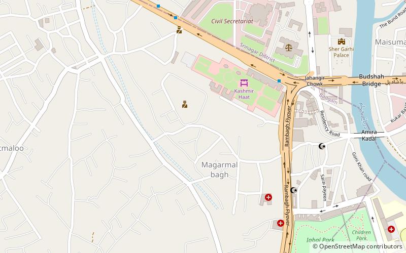
142 min walk • Maisum or Maisuma is a densely populated neighborhood of Srinagar in the Indian union territory of Jammu and Kashmir which is bordered on the north by Gawkadal bridge and on the South by Lal Chowk. River Jhelum forms it western border.
 Neighbourhood
Batamaloo, Srinagar
114 min walk • Batamaloo or Batmaloo, known as Batamalyun in kashmiri, is a locality in Srinagar district, of Jammu and Kashmir, India. It is situated just about 2.5 km from Lal Chowk, Srinagar.
