Biharinath, Asansol
Map

Map

Facts and practical information
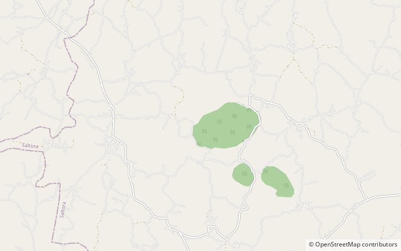
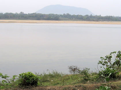
Biharinath is the tallest hill of Bankura District, in the Indian state of West Bengal. and one of the dense forest areas of the district. It is a part of the Eastern Ghats. It is 451 metres high. It is situated about 60 kilometres north-west of Bankura town and 14 kilometres north-east of Saltora town. ()
Coordinates: 23°34'30"N, 86°55'58"E
Address
Asansol
ContactAdd
Social media
Add
Day trips
Biharinath – popular in the area (distance from the attraction)
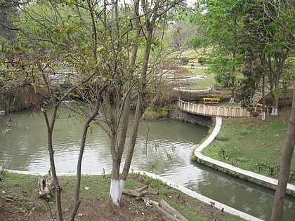
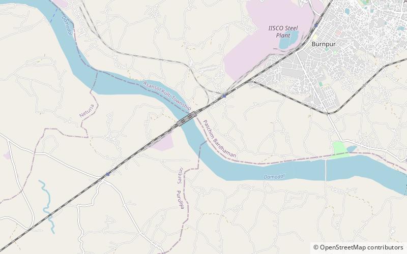
Nearby attractions include: Nehru Park, Dihika.


