Girinagar, Bangalore
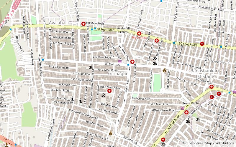
Map
Facts and practical information
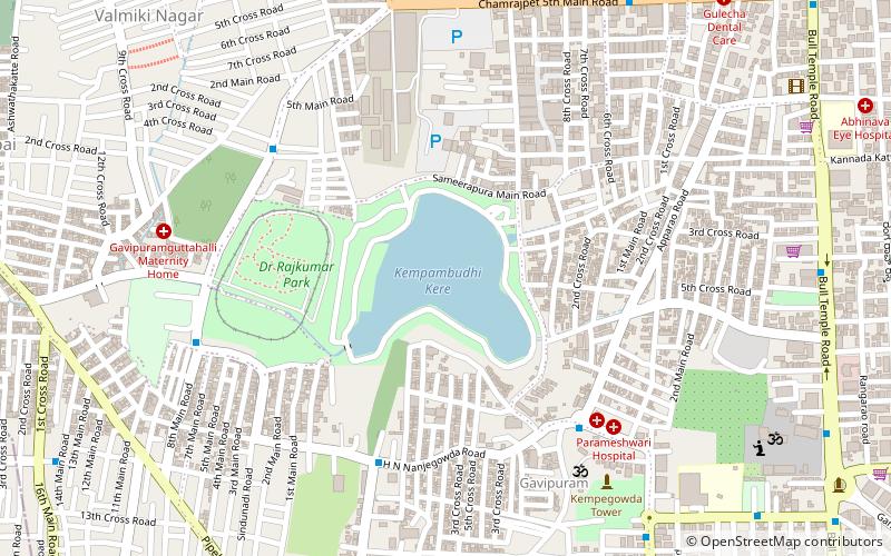
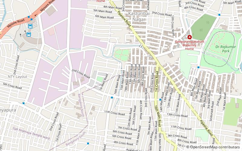
Girinagar is a residential area in South West Bengaluru, very close to Mysore Road. This medium-sized locality is surrounded by Nayandahalli in the west, Byatarayanapura and Deepanjali Nagar in the north, Srinagar and Banashankari in the east and Hosakerehalli in the south. ()
Coordinates: 12°56'25"N, 77°32'40"E
Address
Srinivas NagarBangalore
ContactAdd
Social media
Add
Day trips
Girinagar – popular in the area (distance from the attraction)
Nearby attractions include: Gavi Gangadhareshwara Temple, Kempambudhi Lake, Rajarajeshwari Nagar, Banashankari.
Frequently Asked Questions (FAQ)
Which popular attractions are close to Girinagar?
Nearby attractions include Banashankari, Bangalore (18 min walk), Chamrajpet, Bangalore (20 min walk), Rajarajeshwari Nagar, Bangalore (24 min walk).
How to get to Girinagar by public transport?
The nearest stations to Girinagar:
Bus
Metro
Bus
- Shri Vidhyanagara BMTC Bus station (14 min walk)
- Hoskerehalli Petrol Bunk • Lines: Mf12 (15 min walk)
Metro
- Deepanjali Nagar • Lines: Purple (25 min walk)
- Mysore Road • Lines: Purple (28 min walk)

