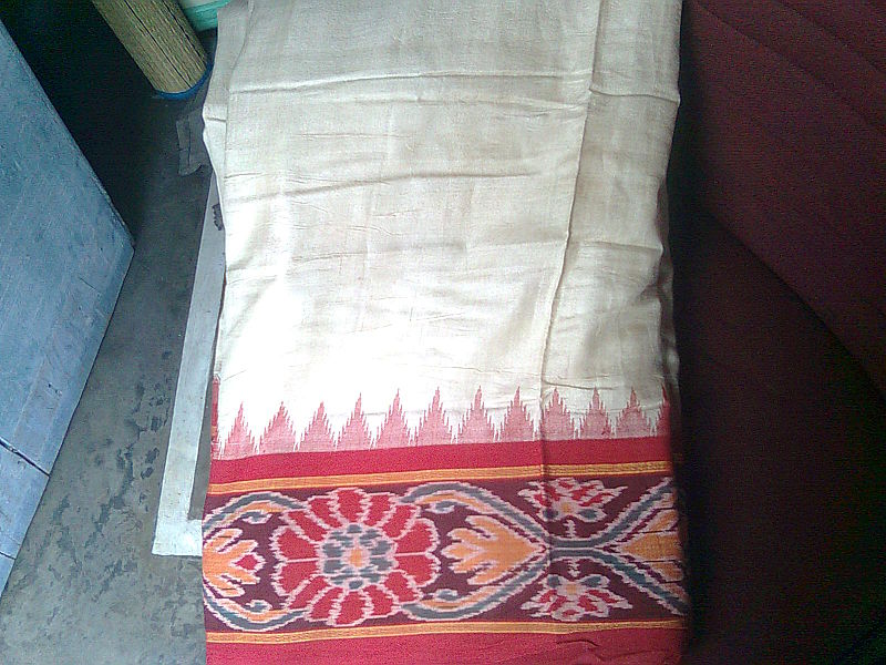
Sambalpuri sari, Sambalpur

Gallery (4)
Map

Map
Gallery
Facts and practical information
A Sambalpuri sari is a traditional handwoven ikat or sari wherein the warp and the weft are tie-dyed before weaving. It is produced in the Sambalpur, Balangir, Bargarh, Boudh and Sonepur districts of Odisha, India. The sari is a traditional female garment in the Indian subcontinent consisting of a strip of unstitched cloth ranging from four to nine metres in length that is draped over the body in various styles. ()
Coordinates: 21°30'54"N, 83°54'60"E
Address
Sambalpur
ContactAdd
Social media
Add
Day trips