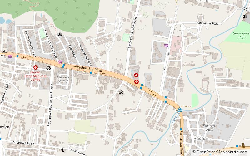
Sus, Pune

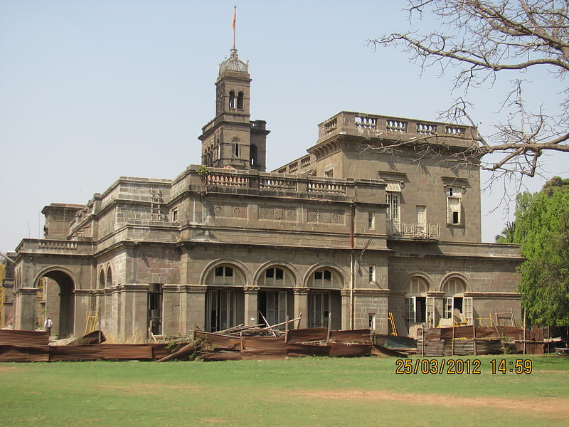
Gallery (2)
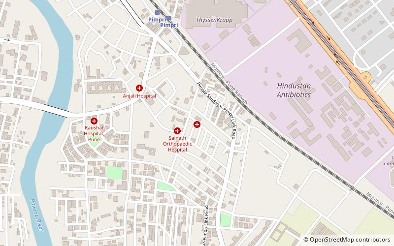
Map

Map
Gallery
Facts and practical information
Sus is a neighborhood in the Pune Metropolitan Area. It is located in the north-west area of the city. Earlier a small village, Sus is being increasingly urbanized. The neighbourhood falls under the jurisdiction of the Pune Municipal Corporation. ()
Coordinates: 18°35'27"N, 73°49'0"E
Address
Pune
ContactAdd
Social media
Add
Getting there by public transportation
Public transportation stops near this location
- Bus
- Train
 Bus
Bus
- Calculate routeOld Sangvi Bus Stand 32 min walk
- Calculate routeDapodi 32 min walk
Day trips


Frequently Asked Questions (FAQ)
How to get to Sus by public transport?
The nearest stations to Sus:
Bus
Train
Bus
- Old Sangvi Bus Stand (32 min walk)
Train
- Dapodi (32 min walk)