Domalguda, Hyderabad
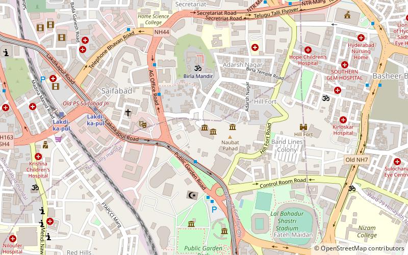
Map
Facts and practical information
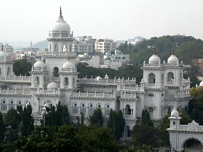
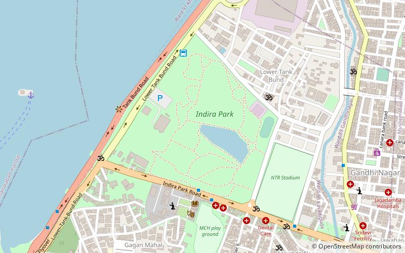
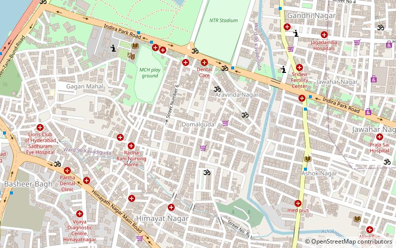
Domalguda is a locality in Hyderabad, India. It lies along the southern part of Hussain Sagar, just south of Indira Park. Hindu religious monastic order Ramakrishna Math and Andhra Vidyalaya College occupy nearly half of the neighborhood. The Nizam Scouts and Guides is also located in Domalguda. ()
Coordinates: 17°24'28"N, 78°29'6"E
Address
Erstwhile Circle-III (Domalguda)Hyderabad
ContactAdd
Social media
Add
Day trips
Domalguda – popular in the area (distance from the attraction)
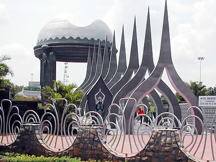
Nearby attractions include: Buddha Statue of Hyderabad, NTR Gardens, Lumbini Park, Public Gardens.
Frequently Asked Questions (FAQ)
Which popular attractions are close to Domalguda?
Nearby attractions include Indira Park, Hyderabad (12 min walk), Hill Fort Palace, Hyderabad (13 min walk), RTC X Roads, Hyderabad (20 min walk), Basheerbagh, Hyderabad (20 min walk).
How to get to Domalguda by public transport?
The nearest stations to Domalguda:
Bus
Metro
Train
Bus
- Bus Stop (18 min walk)
- Bus stop (18 min walk)
Metro
- RTC Cross Roads • Lines: 2 (20 min walk)
- Chikkadpally • Lines: 2 (22 min walk)
Train
- Hyderabad Deccan Nampally (40 min walk)
