Lutyens' Delhi, Delhi
Map
Gallery
Facts and practical information
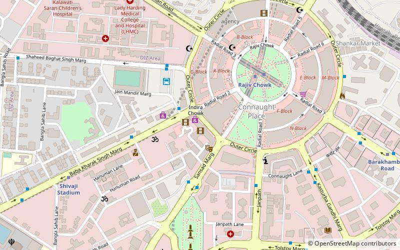
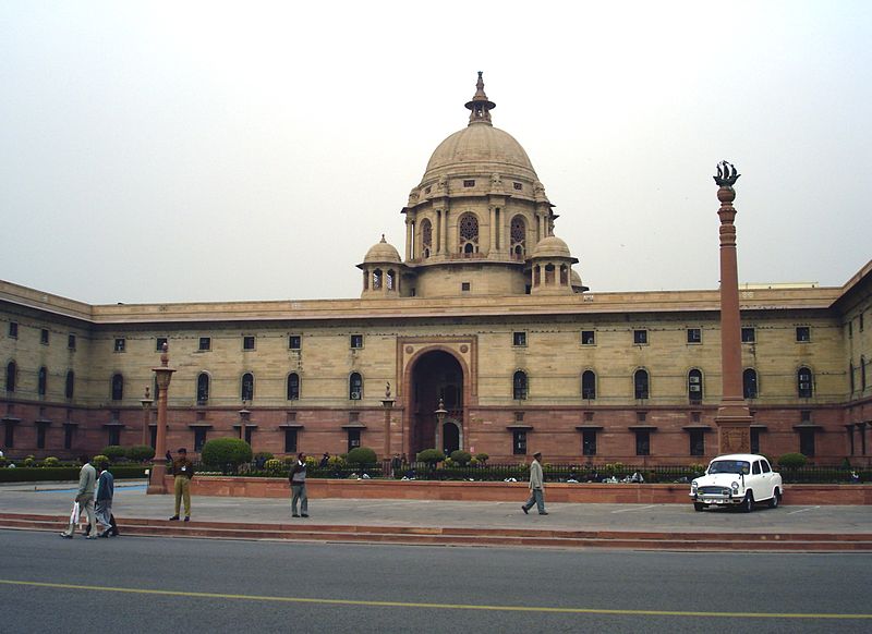
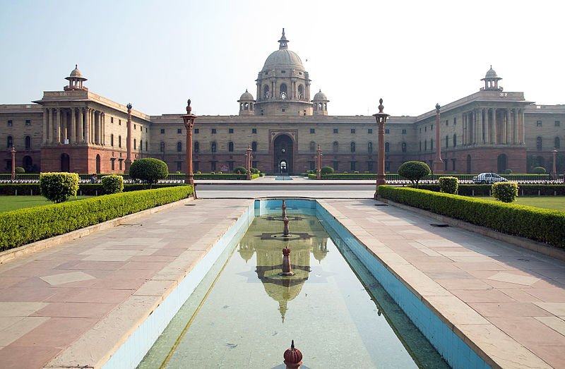
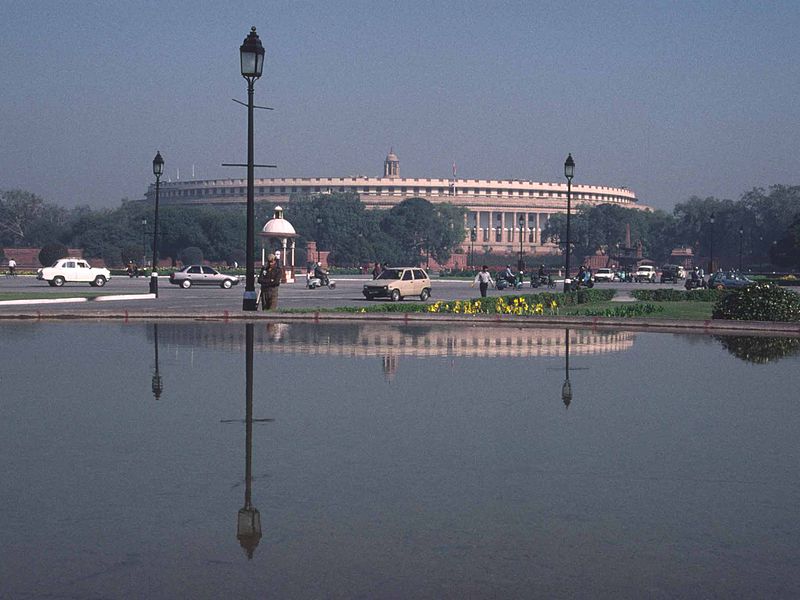
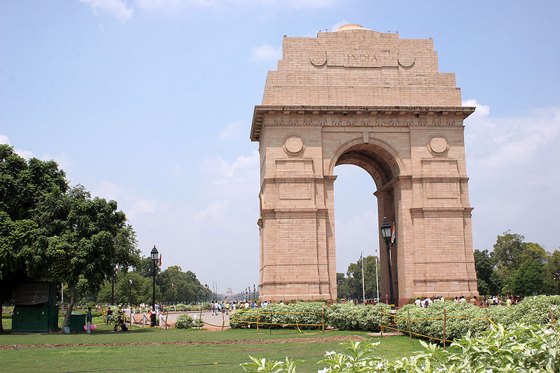
Lutyens' Delhi is an area in New Delhi, India, named after the British architect Sir Edwin Lutyens, who was responsible for much of the architectural design and building during the period of the British Raj, when India was part of the British Empire in the 1920s and 1930s and 1940s. This also includes the Lutyens Bungalow Zone. ()
Address
Central Delhi (Minto Road)Delhi
ContactAdd
Social media
Add
Day trips
Lutyens' Delhi – popular in the area (distance from the attraction)
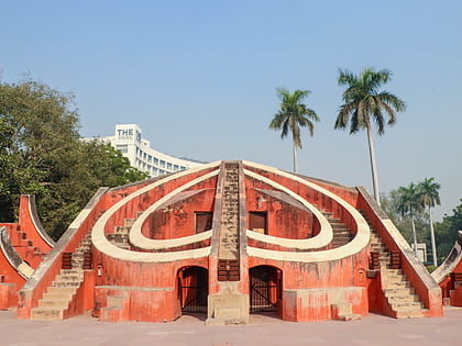
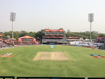
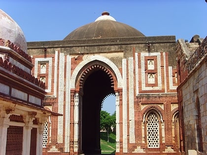
Nearby attractions include: Jantar Mantar, Arun Jaitley Stadium, Ajmeri Gate, National Charkha Museum.
Frequently Asked Questions (FAQ)
Which popular attractions are close to Lutyens' Delhi?
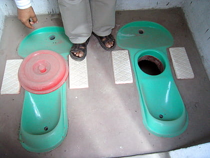
Nearby attractions include Sulabh International Museum of Toilets, Delhi (2 min walk), National Charkha Museum, Delhi (14 min walk), Madame Tussauds Delhi, Delhi (15 min walk), Agrasen Ki Baoli, Delhi (18 min walk).
How to get to Lutyens' Delhi by public transport?
The nearest stations to Lutyens' Delhi:
Bus
Train
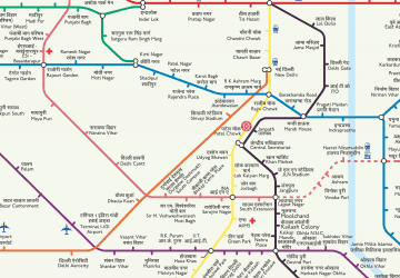
Metro
Bus
- Shivaji Park • Lines: 185, 210, 400, 433, 440, 445A, 460, 500, 505, 522Spl, 548, 604, 781, Rl-77, Rl-79 (6 min walk)
- Super Bazar • Lines: 166, 181A, 185, 210, 281, 349, 390, 400, 433, 445A, 450, 460, 505, 522, 522Spl, 548, 604, 620, 729, 729B, 73, 781, 85, 85Ext, 894, Rl-77, Rl-77B, Rl-79 (6 min walk)
Train
- Shivaji Bridge (6 min walk)
- New Delhi (12 min walk)
Metro
- Rajiv Chowk • Lines: Blue Line, Yellow Line (10 min walk)
- Barakhambha Road • Lines: Blue Line (11 min walk)



 Metro
Metro