Arekere, Bangalore

Map
Facts and practical information
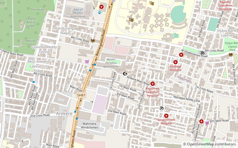
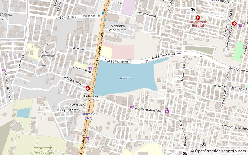
Arekere is a residential area on Bannerghatta Road in South Bangalore. The name Arekere originates from a water reservoir in the area. ()
Coordinates: 12°53'24"N, 77°35'60"E
Address
Bangalore
ContactAdd
Social media
Add
Day trips
Arekere – popular in the area (distance from the attraction)
Nearby attractions include: Arekere Lake, BGS National Public School, Puttenahalli Lake, Madiwala Lake.
Frequently Asked Questions (FAQ)
Which popular attractions are close to Arekere?
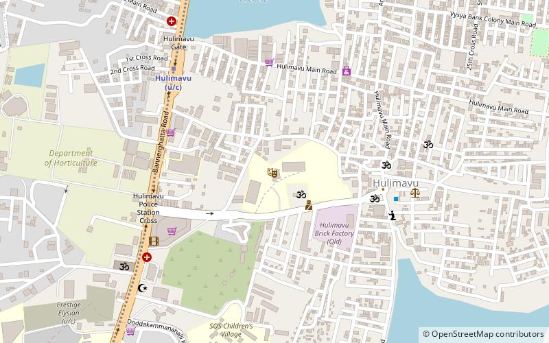
Nearby attractions include Arekere Lake, Bangalore (13 min walk), BGS National Public School, Bangalore (22 min walk), Hulimavu cave Temple, Bangalore (22 min walk), Puttenahalli Lake, Bangalore (23 min walk).
How to get to Arekere by public transport?
The nearest stations to Arekere:
Bus
Bus
- Arakere Gate • Lines: G4 (4 min walk)
- Arekere MICO Layout Bus Station (11 min walk)


