Usmanpura, Ahmedabad
Map
Facts and practical information
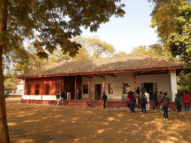
Usmanpura is an affluent suburban locality on the banks of the Sabarmati River in Ahmedabad, Gujarat, India. The name is take from Syed Usman, whose tomb located next to Usmanpura garden. Usmanpura houses Darpan Academy, run by Mallika Sarabhai, an exponent of classical dancing in India. It is also known for premier hotels, such as Fortune Landmark, Hyatt Regency, Holiday Inn Express, and Regenta. The boundaries of the suburb also touch Gujarat Vidyapith, a major university founded by Mahatma Gandhi, the father of Indian independence. Within Usmanpura an area named Shantinagar exists where 80% of people follow Jainism. ()
Coordinates: 23°2'42"N, 72°34'16"E
Address
Ahmedabad
ContactAdd
Social media
Add
Getting there by public transportation
Public transportation stops near this location
- Bus
 Bus
Bus
- Calculate routeAMTS City Bus Stand 18 min walk
- Calculate routeNavrangpura 20 min walk
Day trips


Frequently Asked Questions (FAQ)
Which popular attractions are close to Usmanpura?
Nearby attractions include Saiyad Usman Mosque, Ahmedabad (6 min walk), Ashram Road, Ahmedabad (16 min walk), Sabarmati Riverfront, Ahmedabad (20 min walk), Navarangpura, Ahmedabad (20 min walk).
How to get to Usmanpura by public transport?
The nearest stations to Usmanpura:
Bus
Bus
- AMTS City Bus Stand (18 min walk)
- Navrangpura (20 min walk)