Kodaikanal taluk, Kodaikanal

Map
Facts and practical information
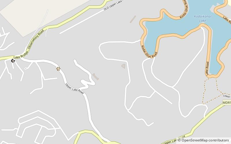
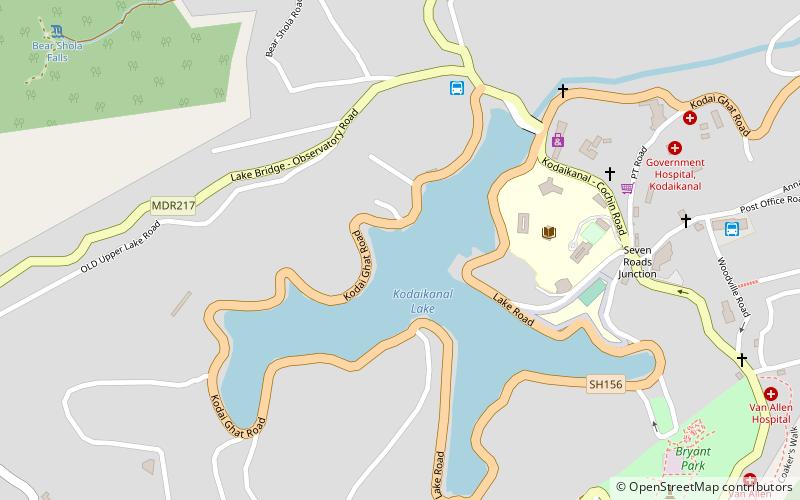
Kodaikanal taluk is a taluk of Dindigul district of the Indian state of Tamil Nadu. The headquarters of the taluk is the town of Kodaikanal. ()
Coordinates: 10°13'48"N, 77°28'48"E
Address
Kodaikanal
ContactAdd
Social media
Add
Day trips
Kodaikanal taluk – popular in the area (distance from the attraction)
Nearby attractions include: Kodaikanal Golf Club, Kodaikanal Lake, Kodaikanal Solar Observatory, Kodaikanal Christian College.
Frequently Asked Questions (FAQ)
Which popular attractions are close to Kodaikanal taluk?
Nearby attractions include Kodaikanal Lake, Kodaikanal (14 min walk), Kodaikanal Christian College, Kodaikanal (14 min walk).


