Yarada Hills, Visakhapatnam
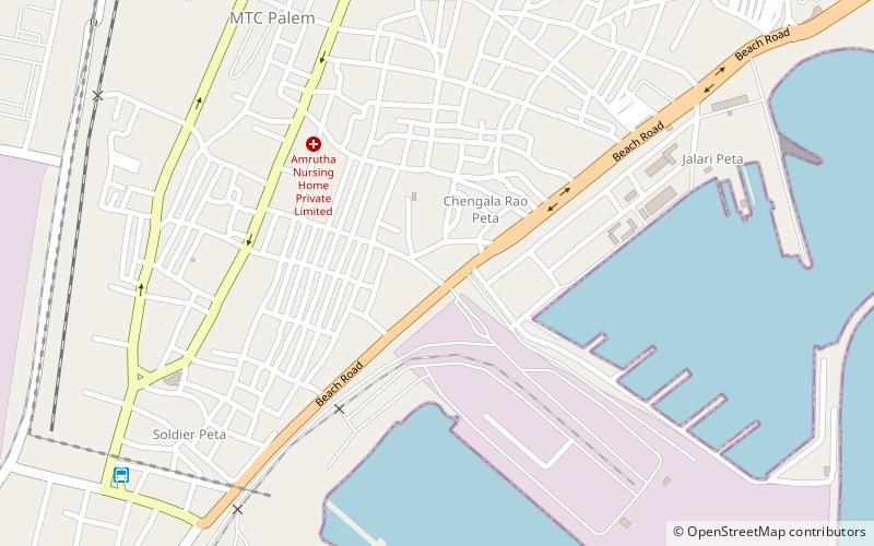
Map
Map

Facts and practical information
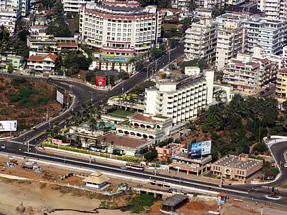
The Yarada Hills are a range of hills at Yarada to the south of Visakhapatnam City beside the Bay of Bengal in Andhra Pradesh state, India. ()
Coordinates: 17°39'57"N, 83°15'21"E
Address
Visakhapatnam
ContactAdd
Social media
Add
Day trips
Yarada Hills – popular in the area (distance from the attraction)
Nearby attractions include: Nowroji Road, Town Hall Visakhapatnam, Yarada Beach, Visakhapatnam Port.
Frequently Asked Questions (FAQ)
How to get to Yarada Hills by public transport?
The nearest stations to Yarada Hills:
Bus
Bus
- Janata Colony Bus Stop (39 min walk)

