Madamon, Ranni

Gallery (1)
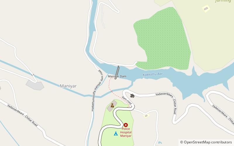
Map
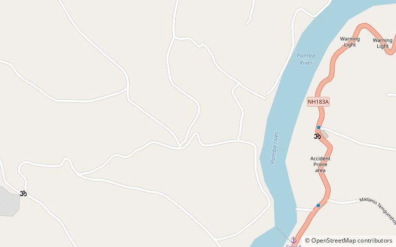
Map
Facts and practical information
Madamon is a village located in Ranni-Perunad Panchayat of Ranni Taluk, Pathanamthitta District of Kerala. It is situated in the Western Ghats and has undulating terrain. The place is blessed with Pamba, a holy river which flows through it. ()
Coordinates: 9°21'45"N, 76°50'0"E
Address
Ranni
ContactAdd
Social media
Add
Day trips