Khadia, Ahmedabad
Map
Map

Facts and practical information
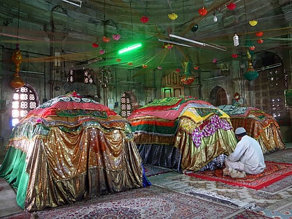
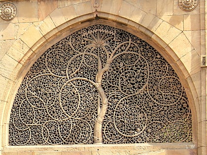
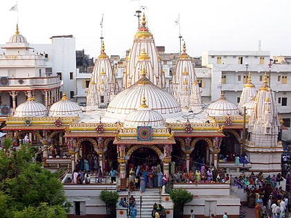
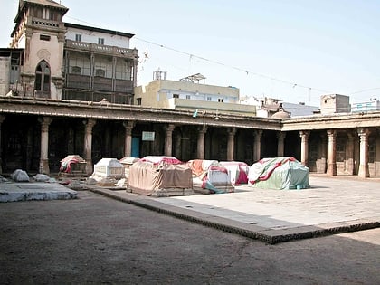
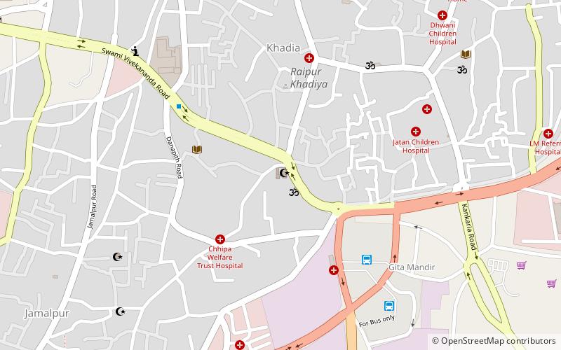
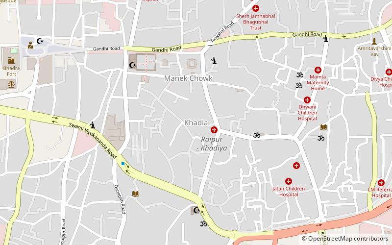
Khadia is an area of central Ahmedabad, Gujarat, India. There are pol and heritage houses in the town. ()
Coordinates: 23°1'17"N, 72°35'21"E
Address
Swami Vivekananda RoadAhmedabad
ContactAdd
Social media
Add
Day trips
Khadia – popular in the area (distance from the attraction)
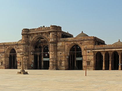
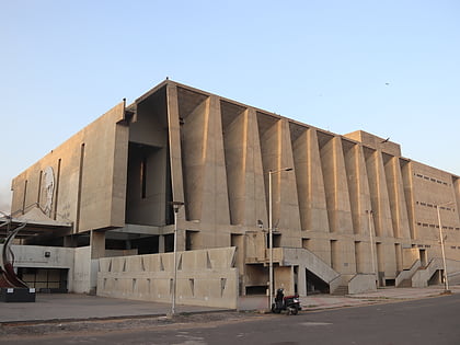
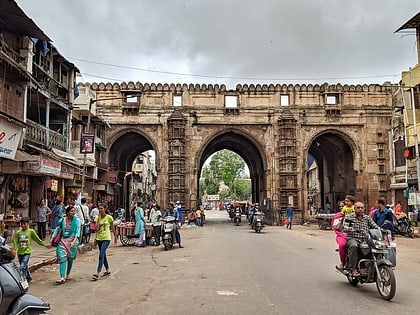
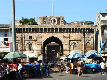
Nearby attractions include: Jama Masjid, Tagore Hall, Teen Darwaza, Bhadra Fort.
Frequently Asked Questions (FAQ)
Which popular attractions are close to Khadia?
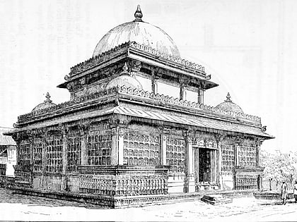
Nearby attractions include Manek Chowk, Ahmedabad (5 min walk), Rani no Hajiro, Ahmedabad (5 min walk), Ahmed Shah's Tomb, Ahmedabad (5 min walk), Jama Masjid, Ahmedabad (6 min walk).
How to get to Khadia by public transport?
The nearest stations to Khadia:
Bus
Train
Bus
- Gita Mandir Bus Station (12 min walk)
- New Bus Station | Gita Mandir (14 min walk)
Train
- Ahmedabad Junction (21 min walk)
- Ahmedabad Station (24 min walk)

