Alapakkam, Ambattur
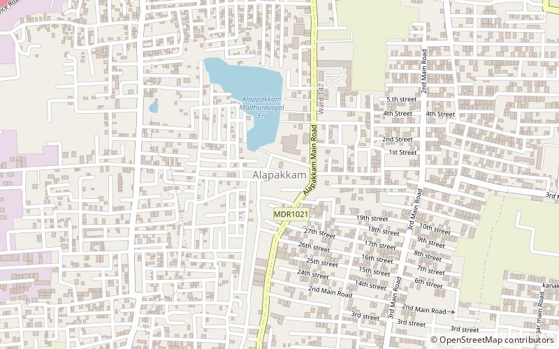
Map
Facts and practical information
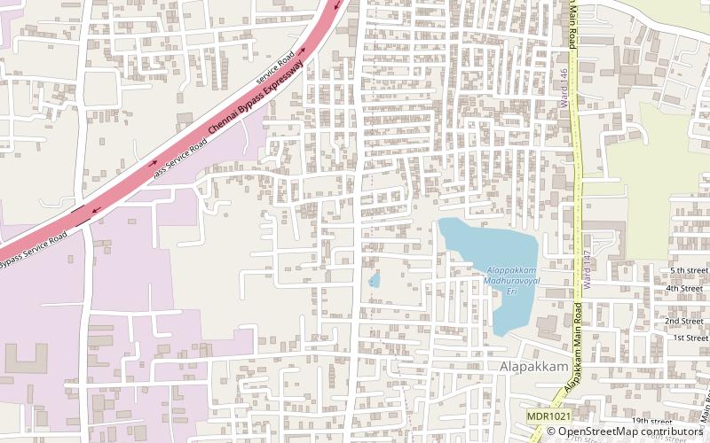
Alapakkam is a neighbourhood in western part of Central Chennai. It belongs to Central Chennai Revenue Division of Chennai district. It is surrounded by Porur, Valasaravakkam and Maduravoyal. It is part of Chennai corporation under zone 11. Entry in to Alapakkam is through two main roads, that is, Arcot Road and Poonamallee High Road. Alapakkam belongs to Sriperumbudur Lok Sabha constituency and Maduravoyal assembly constituency. ()
Coordinates: 13°2'60"N, 80°9'56"E
Address
Ambattur
ContactAdd
Social media
Add
Day trips
Alapakkam – popular in the area (distance from the attraction)
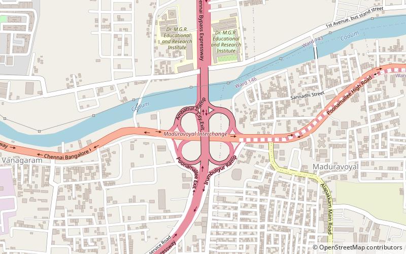
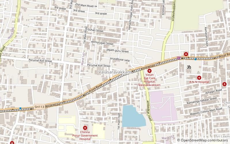
Nearby attractions include: Porur Lake, Maduravoyal Junction, Valasaravakkam, Maduravoyal.
Frequently Asked Questions (FAQ)
Which popular attractions are close to Alapakkam?
Nearby attractions include Vanagaram, Ambattur (10 min walk), Valasaravakkam, Ambattur (20 min walk), Maduravoyal Junction, Chennai (23 min walk).
How to get to Alapakkam by public transport?
The nearest stations to Alapakkam:
Bus
Bus
- Ramapuram Bus Stand (31 min walk)

