Matunga, Mumbai
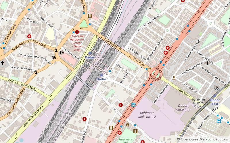
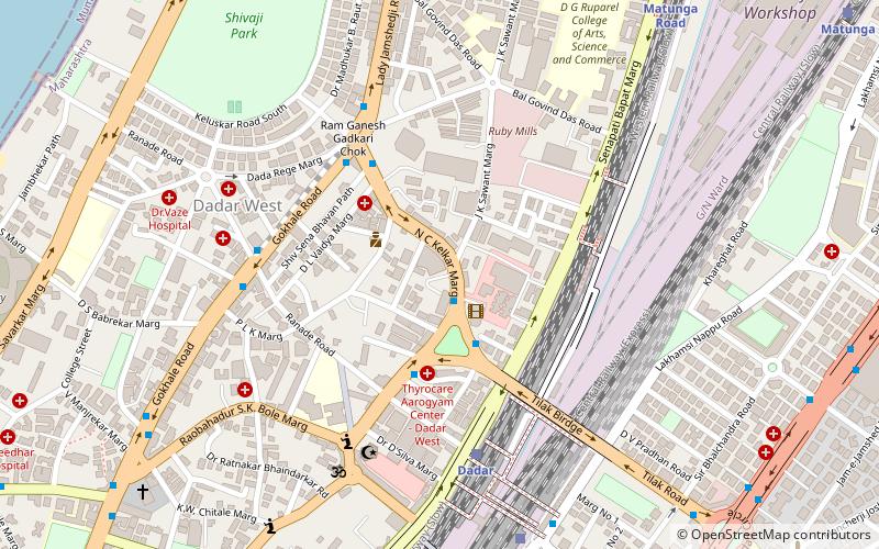
Map
Facts and practical information
Matunga is a locality in the heart of Mumbai City towards downtown Mumbai. It is serviced by the Matunga Road station on the Western line, Matunga station on the Central Line and King's Circle station on the Harbour Line. ()
Coordinates: 19°1'5"N, 72°50'41"E
Address
Parel - Sewri (Dadar West)Mumbai
ContactAdd
Social media
Add
Day trips
Matunga – popular in the area (distance from the attraction)
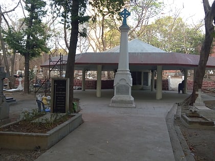
Nearby attractions include: Sewri Fort, Shivaji Park, Portuguese Church, Sewri Christian Cemetery.
Frequently Asked Questions (FAQ)
Which popular attractions are close to Matunga?
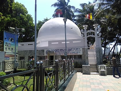
Nearby attractions include Dadar, Mumbai (1 min walk), Hindu Colony, Mumbai (7 min walk), St. Mary's Orthodox Cathedral, Mumbai (9 min walk), Shivaji Mandir, Mumbai (10 min walk).
How to get to Matunga by public transport?
The nearest stations to Matunga:
Train
Bus
Train
- Dadar (3 min walk)
- Dadar East (13 min walk)
Bus
- Asiad MSRTC Stand (5 min walk)
- Wadala Depot (15 min walk)


