Khairtabad, Hyderabad
Map
Map

Facts and practical information
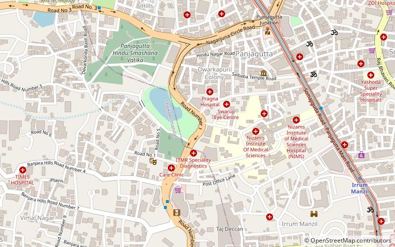
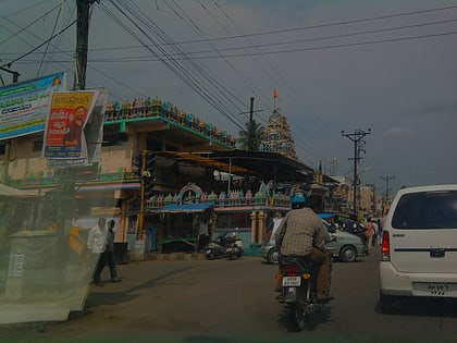
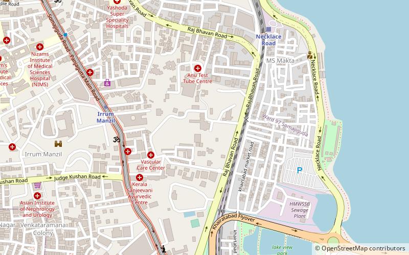
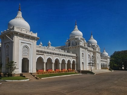
Khairatabad is a neigbbourhood in Hyderabad, Telangana, India. It is a mandal in the Secunderabad Revenue division of Hyderabad District. This is a Zone in the Greater Hyderabad Municipal Corporation. There are five circles in this zone namely Mehdipatnam, Karwan, Goshamahal, Khairatabad and Jubilee Hills. There are four wards under this Khairatabad circle, they are Khairtabad, Somajiguda, Ameerpet and Sanathnagar. ()
Coordinates: 17°26'12"N, 78°26'38"E
Address
Erstwhile Circle-V (Ameerpet)Hyderabad
ContactAdd
Social media
Add
Day trips
Khairtabad – popular in the area (distance from the attraction)
Nearby attractions include: GVK One, Hyderabad Central, Jalagam Vengal Rao Park, Balkampet Yellamma Temple.
Frequently Asked Questions (FAQ)
Which popular attractions are close to Khairtabad?
Nearby attractions include Punjagutta, Hyderabad (1 min walk), S. R. Nagar, Hyderabad (1 min walk), Ameerpet, Hyderabad (1 min walk), Gurudwara Saheb Ameerpet Hyderabad, Hyderabad (8 min walk).
How to get to Khairtabad by public transport?
The nearest stations to Khairtabad:
Metro
Train
Bus
Metro
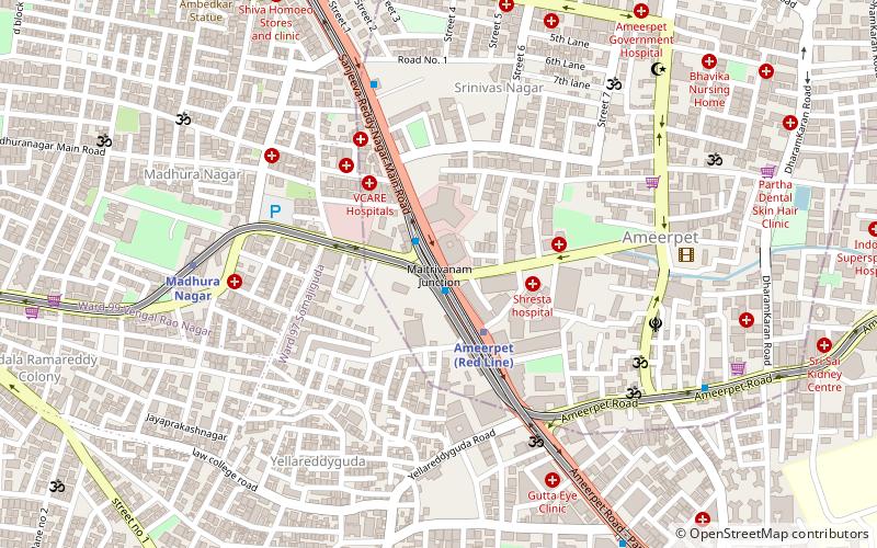
- Ameerpet • Lines: 3, Red Line (3 min walk)
- Madhura Nagar • Lines: 3 (9 min walk)
Train
- Nature Cure Hospital (21 min walk)
- Begumpet (25 min walk)
Bus
- Nandi Nagar bus stand (37 min walk)


