Kherwadi, Mumbai

Map
Facts and practical information
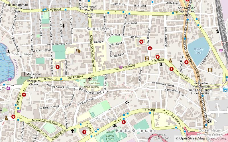
Kherwadi is a middle class, developing neighborhood, situated on the eastern side of Bandra railway station, Mumbai. Its name is derived from the first chief minister of Bombay State, B. G. Kher. It is surrounded by the CBD of BKC to the east, Mahim to the south, Khar to the north and S.V. Road to the west. It is well connected to all the parts of Mumbai, Navi Mumbai and Thane. Western Expressway passes through Kherwadi junction, a signal intersection situated in Kherwadi. ()
Coordinates: 19°3'19"N, 72°49'53"E
Address
Bandra - Khar (Bandra West)Mumbai
ContactAdd
Social media
Add
Day trips
Kherwadi – popular in the area (distance from the attraction)
Nearby attractions include: Mahim Fort, Basilica of Our Lady of the Mount, Bandra Fort, Sangeet Samrat Naushad Ali Marg.
Frequently Asked Questions (FAQ)
Which popular attractions are close to Kherwadi?
Nearby attractions include The Bombay Art Society, Mumbai (7 min walk), Church of Our Lady of Mount Carmel, Mumbai (11 min walk), Bandra Talao, Mumbai (11 min walk), St. Andrew's Church, Mumbai (12 min walk).
How to get to Kherwadi by public transport?
The nearest stations to Kherwadi:
Bus
Train
Bus
- St. Andrew's Church • Lines: 211 (10 min walk)
- Galaxy Apartments • Lines: 211 (14 min walk)
Train
- Bandra (15 min walk)
- Bandra Terminus (24 min walk)


