Bangitappal, Karimpuzha National Park
Map

Map

Facts and practical information
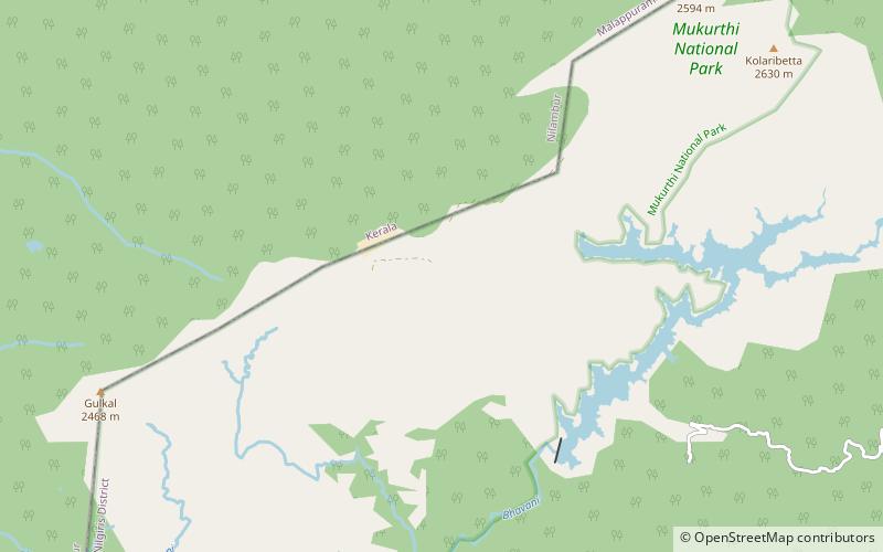
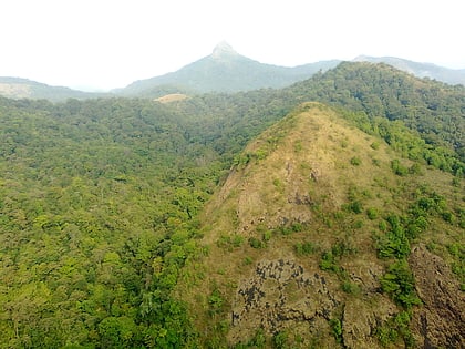
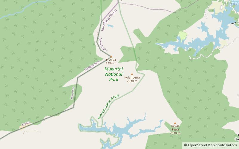
Bangitappal, is a valley in the southwest end of Mukurthi National Park located at: 11°15.39′N 76°30.33′E, elevation: 2,580 m at the confluence of two streams at the head of the Sispara Pass in the Western Ghats in Tamil Nadu South India. A forest rest house and a trekkers shed built there in 1930 are now used by park staff and visiting researchers. ()
Coordinates: 11°15'23"N, 76°30'20"E
Address
Karimpuzha National Park
ContactAdd
Social media
Add
Day trips
Bangitappal – popular in the area (distance from the attraction)
Nearby attractions include: Mukurthi National Park, Anginda peak, Kolaribetta.


