Ambattur taluk, Ambattur
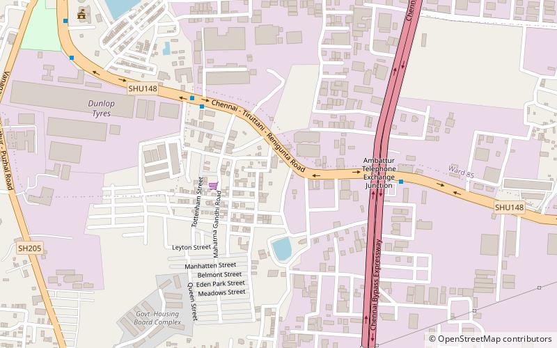
Map
Facts and practical information
Ambattur taluk is a taluk of Chennai district of the Indian state of Tamil Nadu. Its headquarters are the neighbourhood of Ambattur. This taluk was created from a division of Ponneri taluk, Tiruvallur district. On 4 January 2018, Chennai district was expanded by annexing Ambattur taluk. The RTO code for Ambattur taluk is TN-13. ()
Coordinates: 13°6'5"N, 80°9'32"E
Address
Ambattur
ContactAdd
Social media
Add
Day trips
Ambattur taluk – popular in the area (distance from the attraction)
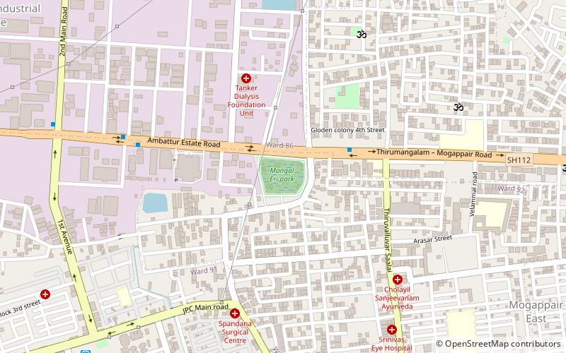
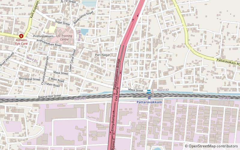
Nearby attractions include: Mangal Lake, Ayanambakkam Lake, Pattaravakkam, Pudhur.
Frequently Asked Questions (FAQ)
How to get to Ambattur taluk by public transport?
The nearest stations to Ambattur taluk:
Bus
Train
Bus
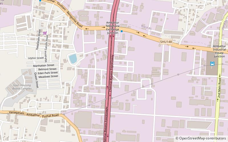
- Telephone Exchange Bus Stop • Lines: 147C (7 min walk)
- Dunlop • Lines: 147C (14 min walk)
Train
- Ambattur (25 min walk)
- Pattaravakkam (27 min walk)
