K. K. Nagar, Ambattur
Map
Facts and practical information
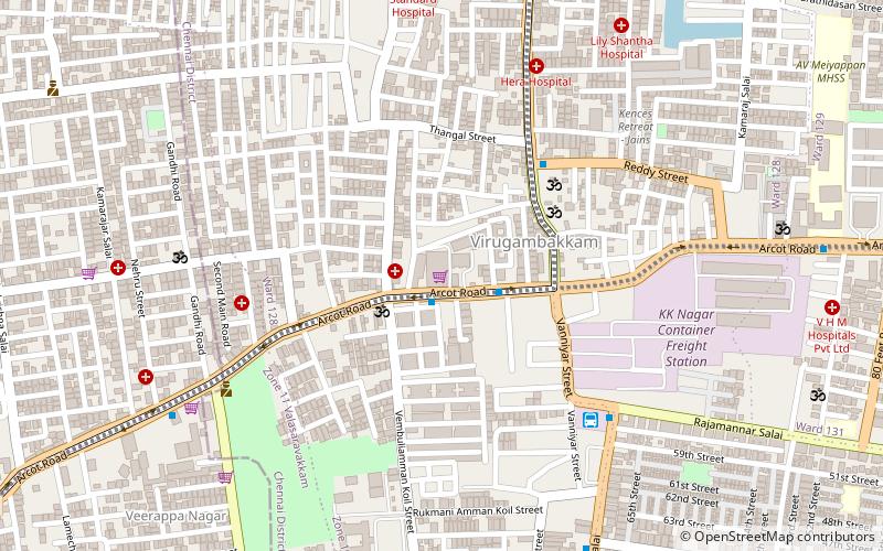
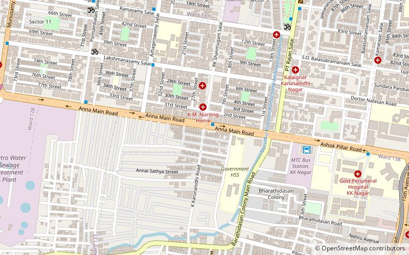
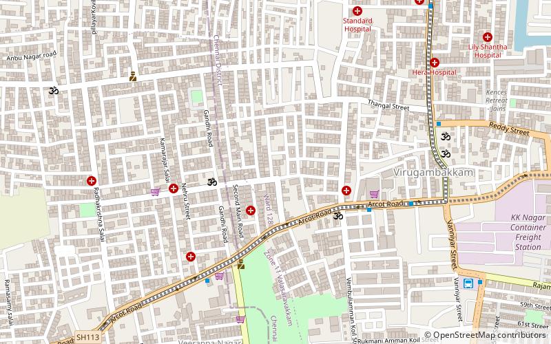
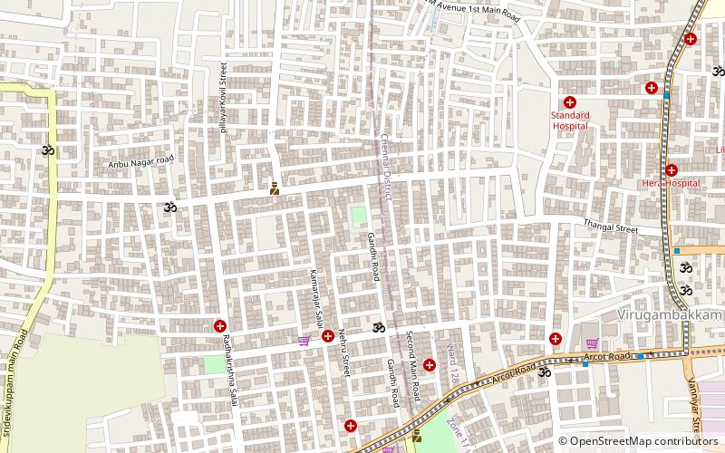
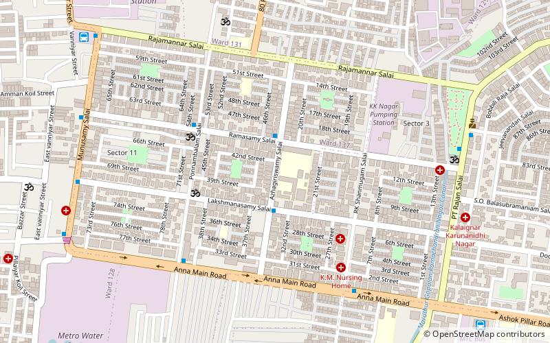
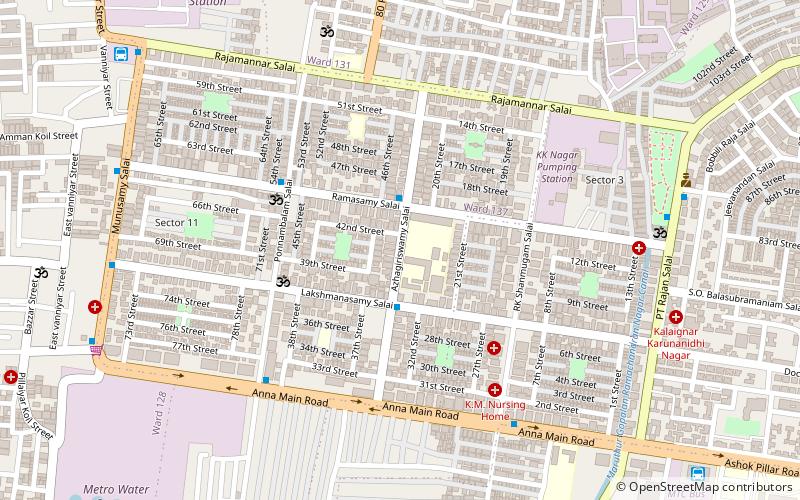
K.K. Nagar is a neighbourhood located in the southern part of Chennai, India. This is situated west of Ashok Nagar and the Chennai Airport is around 10 km southwest of this place. K.K. Nagar was a locality developed in the 1970s and early 1980s. K.K. Nagar is roughly 5 km2 in area. K.K. Nagar is organized by sectors and streets, and there are 15 sectors, and around 102 streets. ()
Coordinates: 13°2'24"N, 80°11'57"E
Address
Kodambakkam (Virugambakkam South)Ambattur
ContactAdd
Social media
Add
Day trips
K. K. Nagar – popular in the area (distance from the attraction)
Nearby attractions include: Chandra Mall, St. Anne's Church, Vadapalani Andavar Temple, Ashok Nagar.
Frequently Asked Questions (FAQ)
Which popular attractions are close to K. K. Nagar?
Nearby attractions include Nesapakkam, Ambattur (1 min walk), MGR Nagar, Chennai (8 min walk), Saligramam, Ambattur (15 min walk), St. Anne's Church, Chennai (17 min walk).
How to get to K. K. Nagar by public transport?
The nearest stations to K. K. Nagar:
Bus
Metro
Bus
- KK Nagar West MTC Terminus (13 min walk)
- KK Nagar MTC Terminus (14 min walk)
Metro
- Ashok Nagar • Lines: 2 (22 min walk)
- Vadapalani • Lines: 2 (30 min walk)
