Farangipet, Mangalore
Map
Facts and practical information
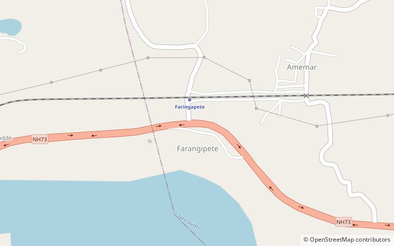
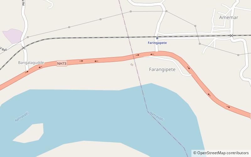
Farangipet or Farangipete is a locality in Mangalore city, Karnataka, India. The ancient, first church, Monte Mariano Church, is located in Farangipet. It also has a temple and mosque nearby. Farangipet is a fast-growing town and it is between two main cities, namely Mangalore and B.C Road. Farangipet comes under Pudu Gram Panchayat. Farangipet is famous for fish since the fish available here is fresh and cheap. ()
Coordinates: 12°52'28"N, 74°57'25"E
Address
Mangalore
ContactAdd
Social media
Add
Getting there by public transportation
Public transportation stops near this location
- Train
 Train
Train
- Calculate routeFaringapete 2 min walk
Day trips


Frequently Asked Questions (FAQ)
How to get to Farangipet by public transport?
The nearest stations to Farangipet:
Train
Train
- Faringapete (2 min walk)